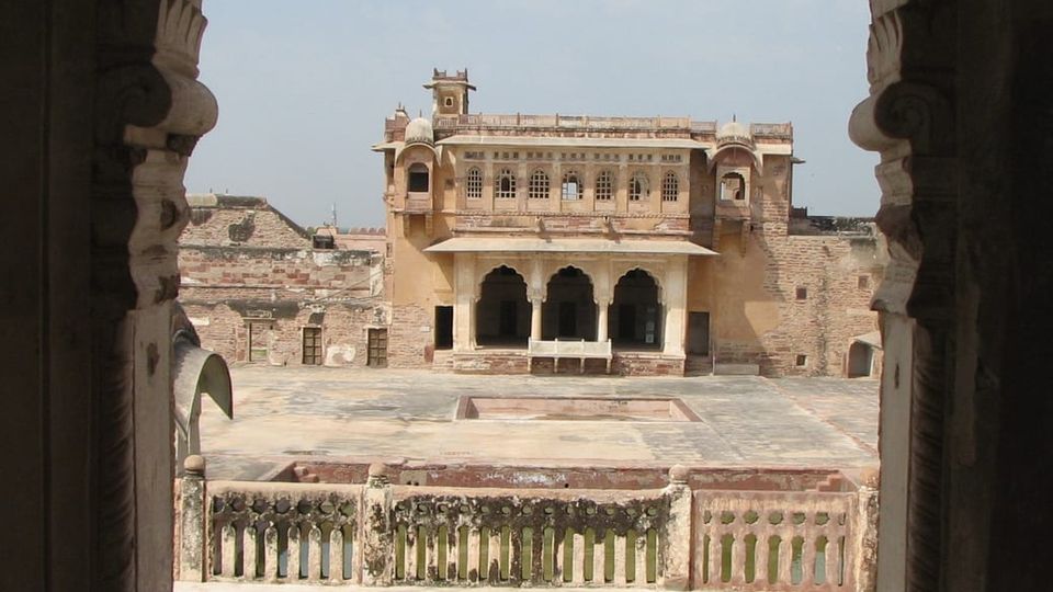
Nagaur district lies between 26°25' and 27°40' north latitude and 73°.10' and 75°.15' east longitude, covering an area of 17,718 km². It is bounded by Bikaner to the northwest, Churu to the north, Sikar to the northeast, Jaipur to the east, Ajmer to the southeast, Pali to the south, and Jodhpur to the southwest and west. The district sits in the Marwar region of Rajasthan, within the Northwestern thorn scrub forests belt that surrounds the Thar Desert. The Aravalli Range extends across the southeastern portion of the district, while the saline Sambhar Lake, India's largest salt lake and Rajasthan's largest lake, lies at the southwestern corner, straddling the boundary with Jaipur District.
The only river that flows through Nagaur is the Luni, an ephemerally flowing river that originates from the Aravalli near Pushkar in Ajmer district and follows a WSW course into the Kutch. It enters Nagaur near Ladpura, drains villages such as Alniawas and Jhintia, and finally crosses Kekind before entering the Jaitaran area of Pali district. The Luni has a number of tributaries that join from the south, but these contribute water only for a few days during the monsoon. The wide beds of the river have been filled by alluvial and aeolian sediments, and in places the river has been almost choked by aeolian sand. The Luni also acts as a barrier against the eastward spread of aeolian sand.
The district’s soils are wind‑modified and lack horizonation due to the arid conditions. They are formed from mixed sources of igneous, metamorphic and Vindhyan systems. More than 70 percent of the area is occupied by a typical pedon profile. The main sandy tract lies to the west of the Luni, and the northern and western parts contain scattered dunes, mostly parabolic, longitudinal barchans and obstructed dunes oriented in NNE‑SSW to NE‑SW directions.
Vegetation is sparse and consists of thorny woodland. On sand dunes the principal trees are Prosopis cineraria, Acacia senegal, Tecomella undulata, Gymnosporia and Aerva. The district’s physiography is marked by low and gentle relief interspersed with isolated hills and knolls of the Aravalli Range, and the major part of the district is characterised by stabilised sand dunes.
Climatologically, Nagaur experiences a semi‑arid climate with extreme dryness, large temperature variations and highly irregular rainfall patterns. The maximum temperature recorded is 117 °F (47.2 °C) and the minimum is 32 °F (0 °C). The average temperature is 74 °F (23 °C). Winter extends from mid‑November to the beginning of March, while the rainy season is short, from July through mid‑September. There are ten climatological stations within the district, located in Nagaur, Khinvsar, Didwana, Merta, Parbatsar, Makarana, Nawa, Jayal, Degana and Ladnun. The average rainfall is 36.16 cm and the relative humidity averages 59%.