Nagaur Darshan — Nagaur cattle fair, Ahhichatragarh Fort
Nagaur district in Rajasthan is a vibrant blend of culture, heritage and flavors.
TIMES of RAJASTHAN · DARSHAN
Nagaur Darshan — Nagaur cattle fair, Ahhichatragarh Fort
Nagaur district in Rajasthan is a vibrant blend of culture, heritage and flavors.
In detail
Nagaur district is a central district of Rajasthan covering 17,718 km² with a population of over 3.3 million (2011). It features semi‑arid climate, sparse thorn scrub vegetation and historic sites such as Nagaur Fort and several temples.
Overview
Nagaur district is one of the 41 districts of the state of Rajasthan in western India. It is the fifth largest district in Rajasthan and covers an area of 17,718 km2 (6,841 sq mi). The district is situated in the central region of the state.
The city of Nagaur serves as the district headquarters. Nagaur is also a municipal council and is known by the names Nagor and Nagore. It lies roughly midway between the cities of Jodhpur and Bikaner.
Panchayati Raj was introduced in Nagaur district, marking a significant development in local governance. The district’s administrative functions are centered in the city of Nagaur, which plays a pivotal role in the region’s political and civic life.
History
Earlier Nagaur belonged to the Gaur dynasty of Rajputs. The fort that dominates the town was constructed by Maharaja of Parmar Rajputs and was historically significant to the Kshatriyas of India. The Naagvanshi Kshatriya community took shelter around Nagaur, and the Parmar Rajputs ruled the area for a long period. Their rulers were appreciated by the Sisodias of Chittor and the Rathore of Jodhpur. The ancient name of the city was Ahichhatrapur.
In the medieval era Nagaur sat astride trade routes coming north from Gujarat and Sindh and those on the west crossing the Indus from Multan, surrounded by a flat plain. The defence of the fort depended on the military and economic power of its rulers. From the period of the Ghaznavid invasions, Nagaur was under the powerful Chauhan clan. A succession of rulers kept the whole of Jangladesh free from foreign rule until the reign of Prithviraj Chauhan at the close of the 12th century. The town later came under the invaders, as Balban, before becoming Sultan, was given an estate centered on this desert town.
Early Sufi influence is evident, with Sultan Tarkin’s shrine established during Hindu rule and a disciple of Khwaja Moinuddin, Hamiduddin, arriving from Ajmer. In 1391, during the reign of Násir-ud-dín Muhammad Tughlak, Jalal Khan Khokhar was assigned governor of Nagaur. Between 1405‑07, Shams Khan, brother of Muzaffar Shah I, founded the Nagaur principality. After the defeat of Shams Khan and the Gujarat Sultanate by Rana Kumbha in 1455, the town fell under the dominion of the Sisodiya Rajput rulers of Mewar.
During the Mughal reign in the 17th century, Amar Singh Rathore served as the emperor’s representative (subedar) of Nagaur. Most of the palatial structures inside the fort were built by Bakht Singh of Marwar, who was made lord of Nagaur by his elder brother Abhai Singh of Jodhpur. As lord, Bakht Singh invaded Bikaner and fought Jaipur at the Battle of Gangwana.
In 1755, Jai Appa Sindhia attacked Nagaur after looting several places in Rajasthan. He halted his army near Samas pond of Tausar, surrounded the fort, and cut off its food and water supply. Maharaja Vijay Singh ji called the Darbar and asked volunteers to kill Jai Appa. Gaji Khan Khokhar and Kan Singh volunteered, disguised as traders, and after two months observed the army. On 25 July 1755 at 11 a.m., they attacked Jai Appa with daggers and killed him, while loyal soldiers of Jodhpur were martyred. After this, the Maratha army continued fighting for a few more months near Nagaur but eventually retreated.
Geography and climate
Nagaur district lies between 26°25' and 27°40' north latitude and 73°.10' and 75°.15' east longitude, covering an area of 17,718 km². It is bounded by Bikaner to the northwest, Churu to the north, Sikar to the northeast, Jaipur to the east, Ajmer to the southeast, Pali to the south, and Jodhpur to the southwest and west. The district sits in the Marwar region of Rajasthan, within the Northwestern thorn scrub forests belt that surrounds the Thar Desert. The Aravalli Range extends across the southeastern portion of the district, while the saline Sambhar Lake, India's largest salt lake and Rajasthan's largest lake, lies at the southwestern corner, straddling the boundary with Jaipur District.
The only river that flows through Nagaur is the Luni, an ephemerally flowing river that originates from the Aravalli near Pushkar in Ajmer district and follows a WSW course into the Kutch. It enters Nagaur near Ladpura, drains villages such as Alniawas and Jhintia, and finally crosses Kekind before entering the Jaitaran area of Pali district. The Luni has a number of tributaries that join from the south, but these contribute water only for a few days during the monsoon. The wide beds of the river have been filled by alluvial and aeolian sediments, and in places the river has been almost choked by aeolian sand. The Luni also acts as a barrier against the eastward spread of aeolian sand.
The district’s soils are wind‑modified and lack horizonation due to the arid conditions. They are formed from mixed sources of igneous, metamorphic and Vindhyan systems. More than 70 percent of the area is occupied by a typical pedon profile. The main sandy tract lies to the west of the Luni, and the northern and western parts contain scattered dunes, mostly parabolic, longitudinal barchans and obstructed dunes oriented in NNE‑SSW to NE‑SW directions.
Vegetation is sparse and consists of thorny woodland. On sand dunes the principal trees are Prosopis cineraria, Acacia senegal, Tecomella undulata, Gymnosporia and Aerva. The district’s physiography is marked by low and gentle relief interspersed with isolated hills and knolls of the Aravalli Range, and the major part of the district is characterised by stabilised sand dunes.
Climatologically, Nagaur experiences a semi‑arid climate with extreme dryness, large temperature variations and highly irregular rainfall patterns. The maximum temperature recorded is 117 °F (47.2 °C) and the minimum is 32 °F (0 °C). The average temperature is 74 °F (23 °C). Winter extends from mid‑November to the beginning of March, while the rainy season is short, from July through mid‑September. There are ten climatological stations within the district, located in Nagaur, Khinvsar, Didwana, Merta, Parbatsar, Makarana, Nawa, Jayal, Degana and Ladnun. The average rainfall is 36.16 cm and the relative humidity averages 59%.
People and languages
Nagaur district, as recorded in the 2011 census, had a population of 3,307,743, placing it 102nd among India's 640 districts. The population density was 187 inhabitants per square kilometre, and the district experienced a growth rate of 19.25% between 2001 and 2011. The sex ratio stood at 950 females for every 1,000 males, while the overall literacy rate was 64.08%. Urban residents comprised 19.26% of the population, and Scheduled Castes and Scheduled Tribes represented 21.16% and 0.31% respectively.
In terms of language, the majority of Nagaur's residents identified Rajasthani as their first language, accounting for 81.09% of the population. Marwari was spoken by 14.94%, Hindi by 2.05%, and Urdu by 1.71%. These linguistic figures illustrate the district's cultural diversity within the broader context of Rajasthan's linguistic landscape.
Culture, fairs and places to see
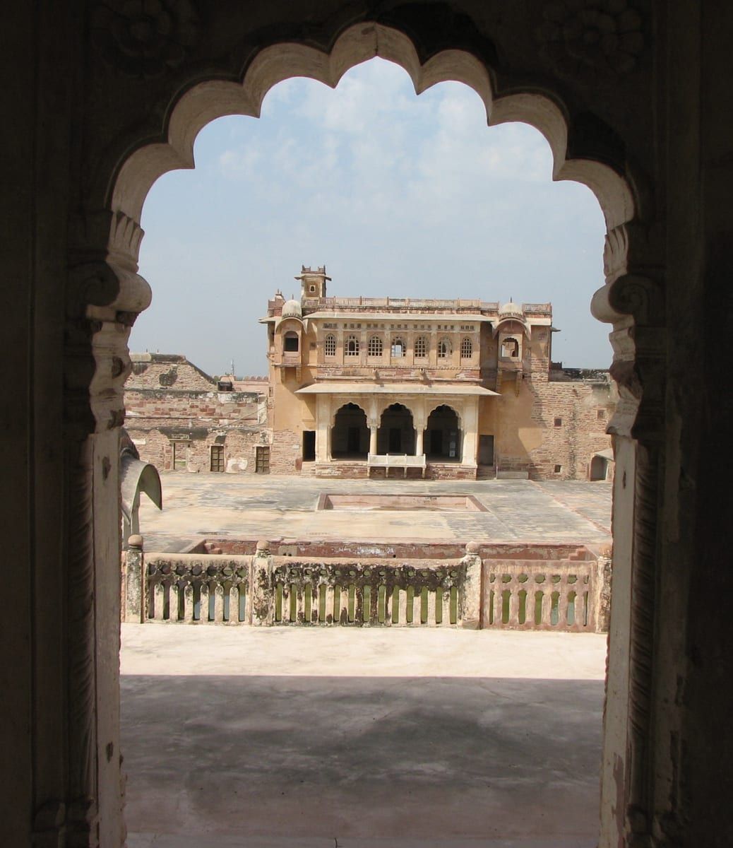
Nagaur Fort, a prominent landmark of the district, showcases early Rajput architecture and has been a witness to numerous battles since its construction in the early 12th century. The fort underwent major renovations in 2007, and its gardens now feature 90 running fountains. The internal and external spaces of the fort serve as venues for cultural events, including a Sufi Music Festival that attracts visitors from across the region.
The village of Rol, also known as Rol Sharif, is situated in Jayal tehsil and is notable for its numerous mosques, such as the Shahi Jama Masjid. It houses the Jubba Mubarak of Muhammad, which is said to contain holy relics brought by Qazi Hamiduddin Nagauri from Bukhara. Devotees from various parts of the country gather for the annual Urs Mela, celebrating the urs of Quazi Sahab.
Ladnun hosts 10th‑century Jain temples that are rich in historical significance, and the Jain Vishva Bharti University serves as a centre of Jainism, spirituality, and purification. Nearby, the village of Bairathal Kallan was established about 700–750 years ago.
Khinvsar town lies 42 km from Nagaur on National Highway No. 65 toward Jodhpur. Its 500‑year‑old Khimsar Fort, once frequented by Mughal Emperor Aurangzeb, has been converted into a modern hotel. The town also contains 25 small temples and is known for black deer that roam in herds, drawing tourists.
The Dadhimati Mata Temple, also called Goth‑Manglod, is located 40 km from Nagaur and is the oldest temple in the district, built during the Gupta Dynasty in the 4th century. The temple is revered as the Kul Devi of Dadhich Brahmins. In Deh town, the Maa Kunjal temple and the 400‑year‑old Meera Bai (Charbhuja) temple add to the district’s religious heritage.
Merta City is renowned for its agricultural market, particularly for cumin, and hosts the Meera Bai Temple, a 400‑year‑old shrine that reflects themes of surrender and faith. Kuchaman City features the ancient Kuchaman Fort, perched on a straight hill and once used by Jodhpur rulers to mint gold and silver; the fort has been converted into a hotel. Khatu, historically known as Shatkup, contains stepwells such as Phool Bawadi, believed to date back to the Gurjara Pratihara period, and a small fort built by Prithviraj Chauhan. The villages of Kurki, Kharnal, Untwaliya, and Jhorda, among others, contribute to the district’s cultural tapestry through their historical sites and local traditions.
Based on: the Wikipedia article (CC BY-SA 4.0) — facts from that source; edited and translated by Times of Rajasthan.
More visual stories
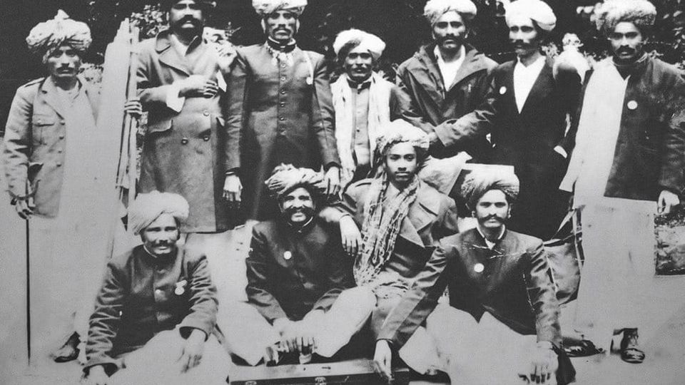 Folk musicKesariya Balam — the songs of the ManganiyarsMaand singing from the Thar, the hum of the kamaicha and the clack of the khartal.5 scenes · with music · ♥ 11
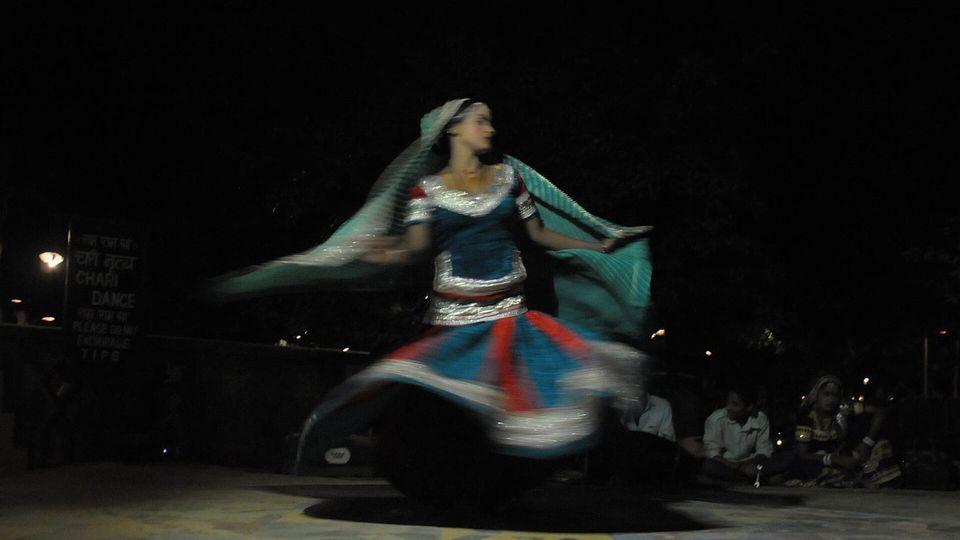 Folk danceGhoomar — the dance of the swirling skirtSwirling ghagras, flowing veils and clapping rhythms at Gangaur, Teej and weddings.3 scenes · with music · ♥ 13
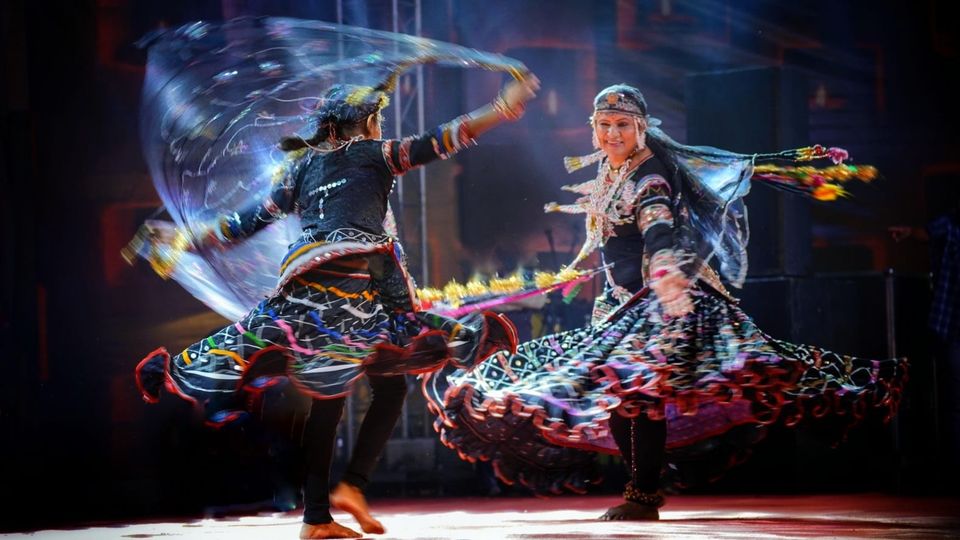 Folk danceKalbeliya — the serpent dance, a UNESCO heritageBodies sway like serpents to the pungi; on UNESCO’s intangible heritage list since 2010.4 scenes · with music · ♥ 1
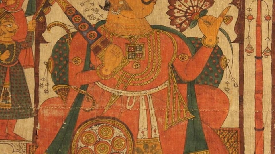 PaintingPhad and Ravanahatha — a story that travelsThrough the night, the bhopa and bhopi sing the epic of folk deities before the phad, to the ravanahatha.4 scenes · with music · ♥ 5