The dunes of the Thar
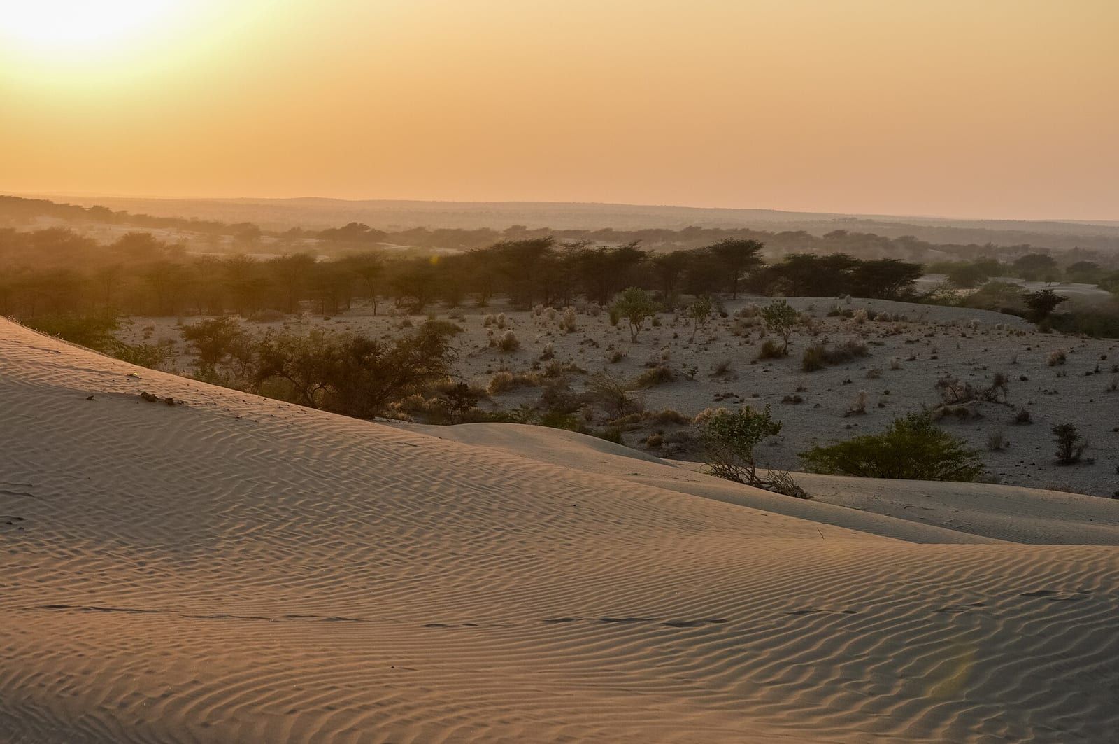
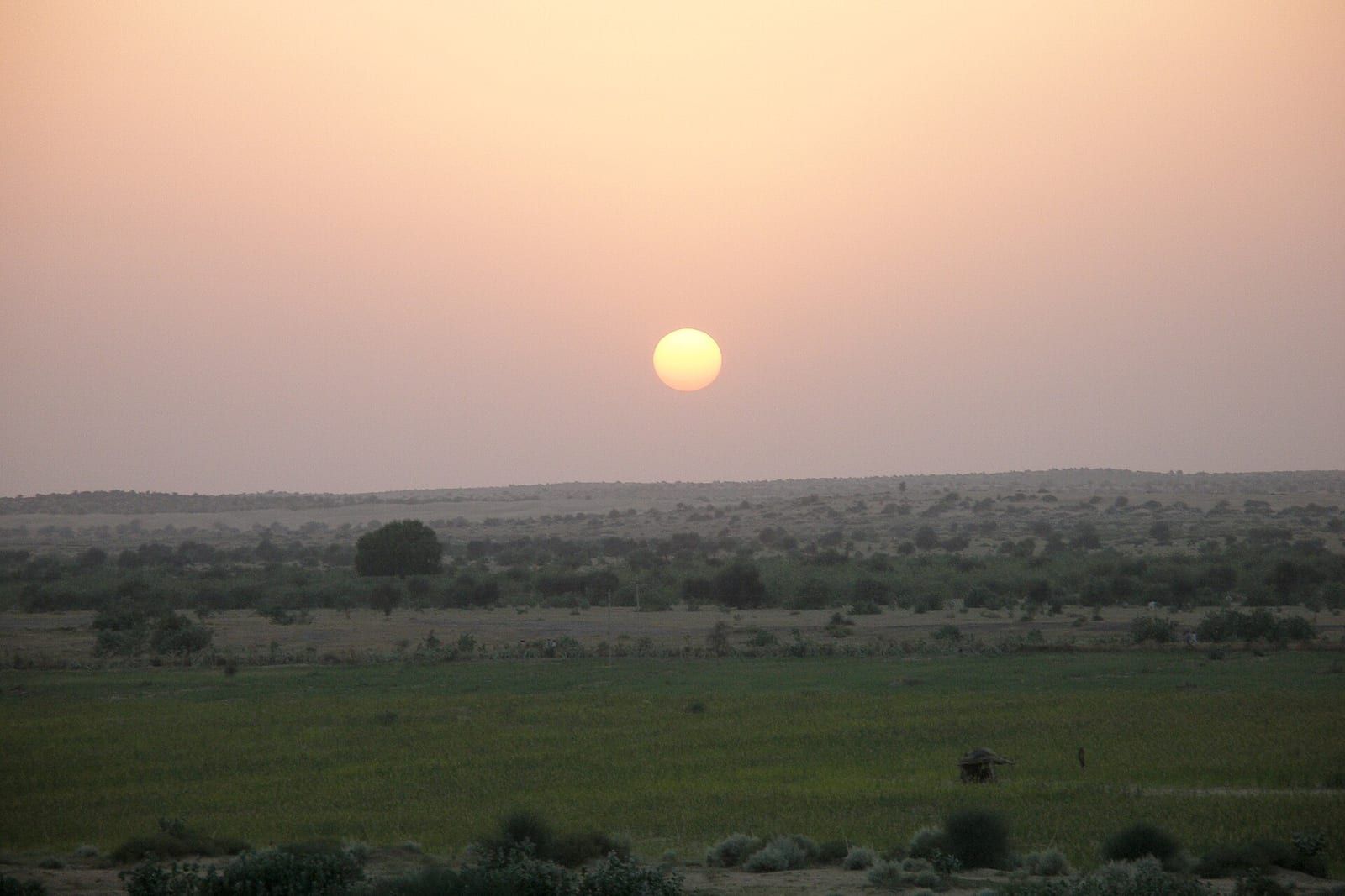
Welcome to the visual story of the Thar dunes.
TIMES of RAJASTHAN · DARSHAN
The dunes of the Thar
Welcome to the visual story of the Thar dunes.
In detail
The Thar Desert, covering 264,091 km², is the largest subtropical desert in Asia and spans India and Pakistan, with most of it in Rajasthan.
Overview
The Thar Desert, also called the Great Indian Desert, is an arid region in the north‑western part of the Indian subcontinent that stretches across India and Pakistan. It covers an area of 264,091 km², making it one of the largest subtropical deserts in Asia by area. About two‑thirds of the desert lies in India, with the remainder in Pakistan, and it accounts for roughly six percent of India’s geographical area. The majority of the desert is in the state of Rajasthan, with portions extending into Gujarat, Haryana, and Punjab, while in Pakistan it reaches into the provinces of Sindh and Punjab.
The Thar is bounded by the Indo‑Gangetic Plain to the north, west and northeast, the Rann of Kutch to the south, and the Aravalli Range to the east. Its topography consists of sandy plains intersected by eroded hills of low elevation. The climate is tropical desert, with extremely hot summers and cooler winters. Most rainfall comes from the southwest monsoon, averaging less than 500 mm annually, and the region experiences frequent droughts.
During the Last Glacial Maximum, an ice sheet on the Tibetan Plateau reflected more solar radiation, cooling the atmosphere and preventing a monsoon over the Indian subcontinent. This led to dust deposition and desertification. The uplift of the Aravalli Range altered the region’s hydrography, causing the Ghaggar‑Hakra River system to dry up and increasing aridity. Over time, wind‑blown sediments and sand from alluvial plains and the coast accumulated in the area.
Water sources are scarce; the inland Luni River system is the only major river. Rainwater is stored in natural and man‑made reservoirs for use during dry periods. The natural vegetation includes trees, thorny scrubs, and scattered grasslands, supporting various animal and bird species.
The Thar Desert is one of the most widely populated deserts in the world. Its inhabitants, the Thar people, live in small villages, many of which are nomadic. The local economy relies on limited agriculture, animal herding, and ecotourism.
History and origins
In the Mesozoic era the area that is now the Thar Desert was a low lying peneplain covered by shallow waters. Erosion during the post‑Mesozoic and early Pleistocene periods produced three layers of planation surfaces. The rise of the Himalayas in the mid‑Miocene gave rise to the monsoon. During the Last Glacial Maximum an ice sheet on the Tibetan Plateau affected radiative forcing and prevented a monsoon over the Indian subcontinent, causing extensive rainfall over the Sahara and more dust to be deposited toward the Arabian Sea. This climatic shift altered biotic zones, with species such as Javan rusa deer migrating into India.
The Aravalli Range formed rapidly and reached significant altitude in the early Holocene. Between 10,000 and 8,000 years ago a channel of the Ghaggar‑Hakra River, identified with the paleo Sarasvati River, flowed into the Nara River, a delta channel of the Indus River, but then changed its course. Uplift of the Aravallis increased flow through the Yamuna River and deprived the Ghaggar‑Hakra system of its headwaters, leaving it as a monsoon‑fed river that no longer reached the sea and ended up in the Thar Desert. From about 4,500 to 5,000 years ago, as monsoons diminished further and the Aravallis blocked monsoon winds from the east, the region became increasingly arid. Sand accumulated from wind‑blown sediments of alluvial plains and the coast.
Lithic tools of the prehistoric Aterian culture of the Maghreb from the Middle Paleolithic era have been found in the Thar Desert. The Indus Valley Civilization flourished along the vicinity of the Ghaggar‑Hakra River between 3300 BCE and 1300 BCE. After its collapse around 1900 BCE, Indo‑Aryan peoples migrated into north‑western India and inhabited the region. During the Vedic period (1500 BCE to 500 BCE) various tribes lived there, and the Kuru kingdom, the earliest Vedic state, was formed by a super‑tribe that joined several tribes. Small settlements of the Painted Grey Ware culture arose in the Ghaggar‑Hakra valley before the second urbanisation of the Indo‑Gangetic Plains.
By the third century BCE a large part of the Indian subcontinent, including portions of the desert, was under the Mauryan Empire. The Kushan Empire expanded into the northwest of the Indian subcontinent in the middle of the 1st century CE. The Gupta Empire flourished between the 2nd and 6th centuries CE, reaching its peak in the 5th century CE, when its territory incorporated the present Thar Desert region. In the eastern part of the region the Brahmin dynasty ruled in the 7th to 8th centuries CE, later annexed to the Umayyad Caliphate in the early 8th century CE, and then to the Abbasid Caliphate. The Pratihara dynasty ruled the eastern part between the 8th and 11th centuries CE. Mahmud of Ghazni annexed the region to the Ghaznavid Empire in the 11th century CE.
In the later Middle Ages the western part of the region was ruled by several Rajput states that began forming in the late 7th century CE and rose to political prominence later. The eastern part was ruled by the Soomras and the Sammas from the later 11th to early 16th century CE. The period was marked by conflict between the Mughal Empire and the other dynasties that ruled the region. The conflict began with the invasion by Timurid king Babur, resisted by the Rajput states under Rana Sanga. The conflicts continued for over 200 years, with the initial phase remaining indecisive. The Mughals gained an upper hand between the mid 15th and late 16th centuries, while the Rajputs retook control later after the Mughal empire began to collapse in the late 16th century. The Marathas took control over most of the region in the 18th century CE. In the 19th century CE the region came under the suzerainty of the British Raj, wherein it was composed of a large number of princely states, with powers divided amongst the local rulers and the British.
The partition of India resulted in the formation of the independent states of India and Pakistan, and the Thar Desert region was split between the two countries. It resulted in large scale conflicts and mass migration of people across the borders. After the political integration of India and the reorganisation of Indian states, the majority of the eastern part of the desert became part of the Rajasthan state, with minor portions in Haryana, Punjab, and Gujarat. The western third became part of the Sindh and Punjab provinces in Pakistan. In 1965 and 1971, further population exchanges took place in the Thar region between India and Pakistan; 3,500 people, mostly Muslims, moved from India to Pakistan, while thousands of Hindu families migrated from Pakistani to the Indian section.
Based on: the Wikipedia article (CC BY-SA 4.0) — facts from that source; edited and translated by Times of Rajasthan.
More visual stories
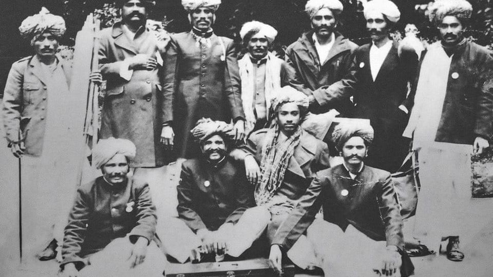 Folk musicKesariya Balam — the songs of the ManganiyarsMaand singing from the Thar, the hum of the kamaicha and the clack of the khartal.5 scenes · with music · ♥ 11
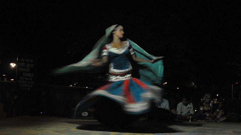 Folk danceGhoomar — the dance of the swirling skirtSwirling ghagras, flowing veils and clapping rhythms at Gangaur, Teej and weddings.3 scenes · with music · ♥ 13
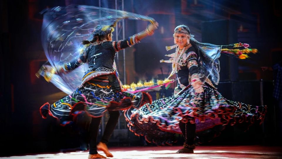 Folk danceKalbeliya — the serpent dance, a UNESCO heritageBodies sway like serpents to the pungi; on UNESCO’s intangible heritage list since 2010.4 scenes · with music · ♥ 1
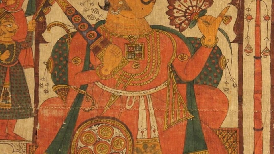 PaintingPhad and Ravanahatha — a story that travelsThrough the night, the bhopa and bhopi sing the epic of folk deities before the phad, to the ravanahatha.4 scenes · with music · ♥ 5
Photos: This Photo was taken by Timothy A. Gonsalves . Feel free to use my photos, but p / Wikimedia Commons (CC BY-SA 4.0) · Arian Zwegers from Brussels, Belgium / Wikimedia Commons (CC BY 2.0) · Vyacheslav Argenberg / Wikimedia Commons (CC BY 4.0)