Sirohi Darshan — Mount Abu, Dilwara temples
Sirohi district in Rajasthan blends hills, temples and lakes into a vivid landscape.

TIMES of RAJASTHAN · DARSHAN
Sirohi Darshan — Mount Abu, Dilwara temples
Sirohi district in Rajasthan blends hills, temples and lakes into a vivid landscape.
In detail
Sirohi district is a district in Rajasthan, India, with its headquarters in the town of Sirohi and Abu Road as its largest city. It covers an area of about 5,136 km² and had a population of 1,036,346 in 2011.
Overview
Sirohi district is a district of Rajasthan state in western India, with the town of Sirohi serving as the administrative headquarters. The district lies in the southern part of Rajasthan and includes the town that was formerly the capital of the princely state of Sirohi, ruled by Deora Chauhan Rajput rulers.
Abu Road is the largest city in Sirohi District in terms of both area and population, making it a significant urban centre within the district. Despite Abu Road's size, the district headquarters remain in the town of Sirohi.
According to the 2011 census, Sirohi district is the third least populous district in Rajasthan out of a total of thirty‑three districts, following Jaisalmer and Pratapgarh in having the lowest population.
The nearest railway station to the town of Sirohi is Sirohi Road railway station, providing rail connectivity for residents and visitors to the district.
History
Sirohi district’s modern administrative history began after Indian independence. On 15 January 1948 the area was taken over by Bombay State, a status it retained until 25 January 1950. On that date the former princely state was divided: Abu Road tehsil and part of Delwara tehsil were transferred to Bombay, while the remaining territory merged with the newly formed state of Rajasthan. The portion that had been attached to Bombay, covering about 787 km², was later returned to Sirohi district of Rajasthan on 1 November 1956.
The region has long been known as “Dev Nagari” because of its numerous temples and shrines, a title that dates back to ancient times. It also gained a reputation for the production of the double‑edged Sirohi sword, a craft that originated under the Chauhan Deora rulers in the 15th century and continued until 1947.
The town of Sirohi itself traces its origins to the early 15th century. In 1405 Rao Sobhaji founded the settlement of Shivpuri on the eastern slope of Siranwa Hill; the site now lies in ruins. Two decades later, in 1425, his son and successor Sehastramal (also known as Sainsmal) established a fortress on the same hill’s eastern slope. This fort became the capital of his domain and eventually developed into the present‑day town of Sirohi.
Geography and climate
Sirohi district covers roughly 5,136 square kilometres in the south‑west of Rajasthan, bounded by Jalor to the west, Pali to the north, Udaipur to the east and Gujarat’s Banaskantha district to the south. The district lies between 24° 20′ and 25° 17′ N latitude and 72° 16′ and 73° 10′ E longitude, with its administrative centre at 24.885° N, 72.8625° E and an average elevation of about 321 metres.
The terrain is split by the granite massif of Mount Abu, which runs north‑east to south‑west and creates two distinct zones. South‑east of the range the land is mountainous and rugged, drained by the West Banas River; this area supports dry deciduous forest and, at higher elevations on Mount Abu, conifer forests. Abu Road, situated in the West Banas valley, is the district’s largest town and financial hub.
West and north of Mount Abu lie drier lands in the rain shadow of the mountain, where the southwest monsoon is blocked. The southwestern corner is drained by the intermittent Sukri River flowing down the western slopes of Mount Abu, while the north‑western part drains into tributaries of the Luni River. These western and northern zones are covered by Northwestern thorn scrub forests.
Sirohi district has the fewest villages of any district in Rajasthan, reflecting its rugged topography and sparse settlement pattern.
People and languages
The 2011 census recorded Sirohi district’s population at just over one million, with a density of 202 inhabitants per square kilometre. The district’s sex ratio stood at 938 females for every 1,000 males, and the literacy rate was recorded at 56.02 percent. About one‑fifth of the residents lived in urban areas, while Scheduled Castes comprised 19.48 percent of the population and Scheduled Tribes accounted for 28.22 percent.
Marwari was the predominant mother tongue, spoken by roughly two‑thirds of the district’s inhabitants. Hindi and Rajasthani each accounted for just over seven percent of first languages, reflecting the broader linguistic landscape of the state. A significant minority, about sixteen and a half percent, spoke Bhili, indicating the presence of tribal communities within the district.
These linguistic patterns underscore the cultural diversity of Sirohi, where the majority Marwari‑speaking population coexists with speakers of Hindi, Rajasthani, and Bhili, each contributing to the district’s social fabric.
Administration
Sirohi district is administratively divided into six sub‑divisions: Abu Road, Sirohi, Mount Abu, Sheoganj, Pindwara and Reodar. Correspondingly, the district comprises six tehsils—Abu Road, Deldar, Sirohi, Sheoganj, Pindwara and Reodar. Of these tehsils, five (all except Deldar) are served by Panchayat Samitis, which function as the intermediate tier of local governance.
At the grassroots level, the district contains 162 Gram Panchayats that collectively administer 518 villages. Urban areas are managed through five Nagar Palikas (municipalities), which are located in the towns of Sirohi, Sheoganj, Pindwara, Abu Road and the hill station of Mount Abu. These municipal bodies handle civic administration for their respective urban populations.
In addition to the primary tehsils, Sirohi district includes three sub‑tehsils that provide further administrative granularity: Bhavri in Pindwara tehsil, Kalandri in Sirohi tehsil, and Mandar in Reodar tehsil. These sub‑tehsils assist in local governance and service delivery within their respective jurisdictions.
Culture, fairs and places to see
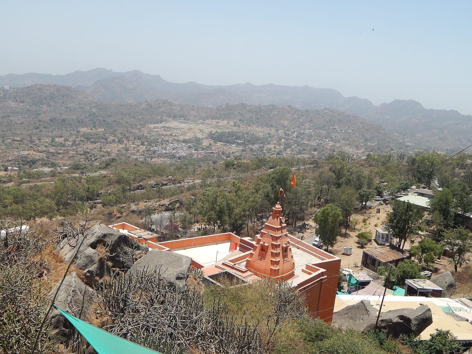
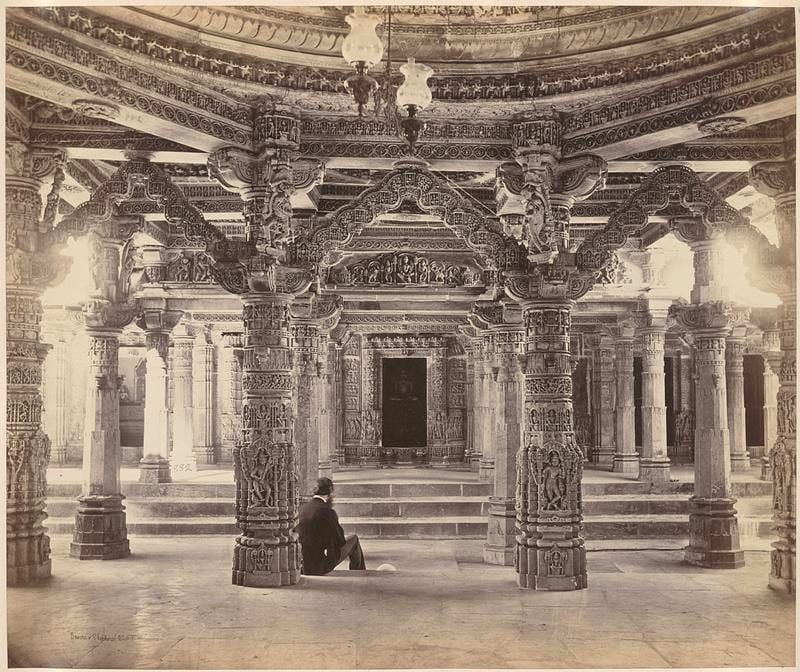
The district of Sirohi offers a variety of cultural and religious sites that attract visitors seeking both historical and spiritual experiences. In the vicinity of Abu Road, the Mungathala temples stand as notable landmarks, while the Chandravati Temple reflects the ancient heritage of the city with remains dating broadly from the 9th to the 14th centuries. Nearby, the Amarnath Mahadev Temple in Maval is an ancient Shiva shrine that adds to the religious landscape of the area.
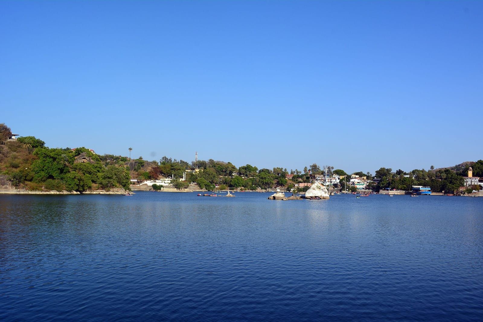
Mount Abu, a prominent hill station within the district, serves as a major place of interest for tourists, providing a scenic backdrop to the surrounding cultural sites. The town of Sirohi itself is home to several significant temples situated on the Aravalli Hills, including the Saraneshwar Mahadev Temple located three kilometres from the town on the Ahmedabad‑Jaipur National Highway, and the Ambeshawar Mahadev Temple, twelve kilometres away, which is accessed via a flight of 350 steps.
Further enriching the district’s spiritual tapestry, the Mirpur Jain Temple lies eighteen kilometres from Sirohi town, offering insight into the Jain heritage of the region. Additional notable sites include the Shree Pavapuri Tirth Dham, the town of Jirawala, and Kusuma, each contributing to the diverse array of places to see within Sirohi district.
Based on: the Wikipedia article (CC BY-SA 4.0) — facts from that source; edited and translated by Times of Rajasthan.
More visual stories
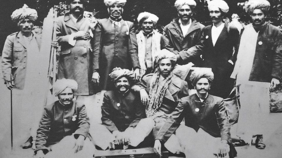 Folk musicKesariya Balam — the songs of the ManganiyarsMaand singing from the Thar, the hum of the kamaicha and the clack of the khartal.5 scenes · with music · ♥ 11
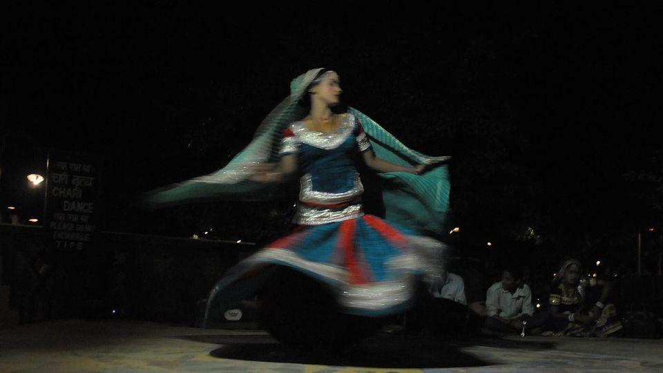 Folk danceGhoomar — the dance of the swirling skirtSwirling ghagras, flowing veils and clapping rhythms at Gangaur, Teej and weddings.3 scenes · with music · ♥ 13
 Folk danceKalbeliya — the serpent dance, a UNESCO heritageBodies sway like serpents to the pungi; on UNESCO’s intangible heritage list since 2010.4 scenes · with music · ♥ 1
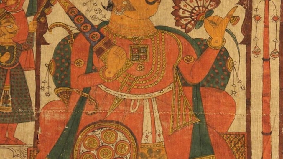 PaintingPhad and Ravanahatha — a story that travelsThrough the night, the bhopa and bhopi sing the epic of folk deities before the phad, to the ravanahatha.4 scenes · with music · ♥ 5
Photos: SUNIDHI CHOUDHARY / Wikimedia Commons (CC BY-SA 4.0) · Murray, Colin Roderick, 1840-1884; Bourne & Shepherd; Fergusson, James, 1808 / Wikimedia Commons (Public domain) · Mustafa Khargonewala alias Camaal Mustafa Sikander aka Lens Naayak / Wikimedia Commons (CC BY-SA 4.0)