Rajsamand Darshan — Kumbhalgarh Fort, Nathdwara, Shrinathji
Rajsamand district in Rajasthan is a blend of cultural heritage and natural beauty.
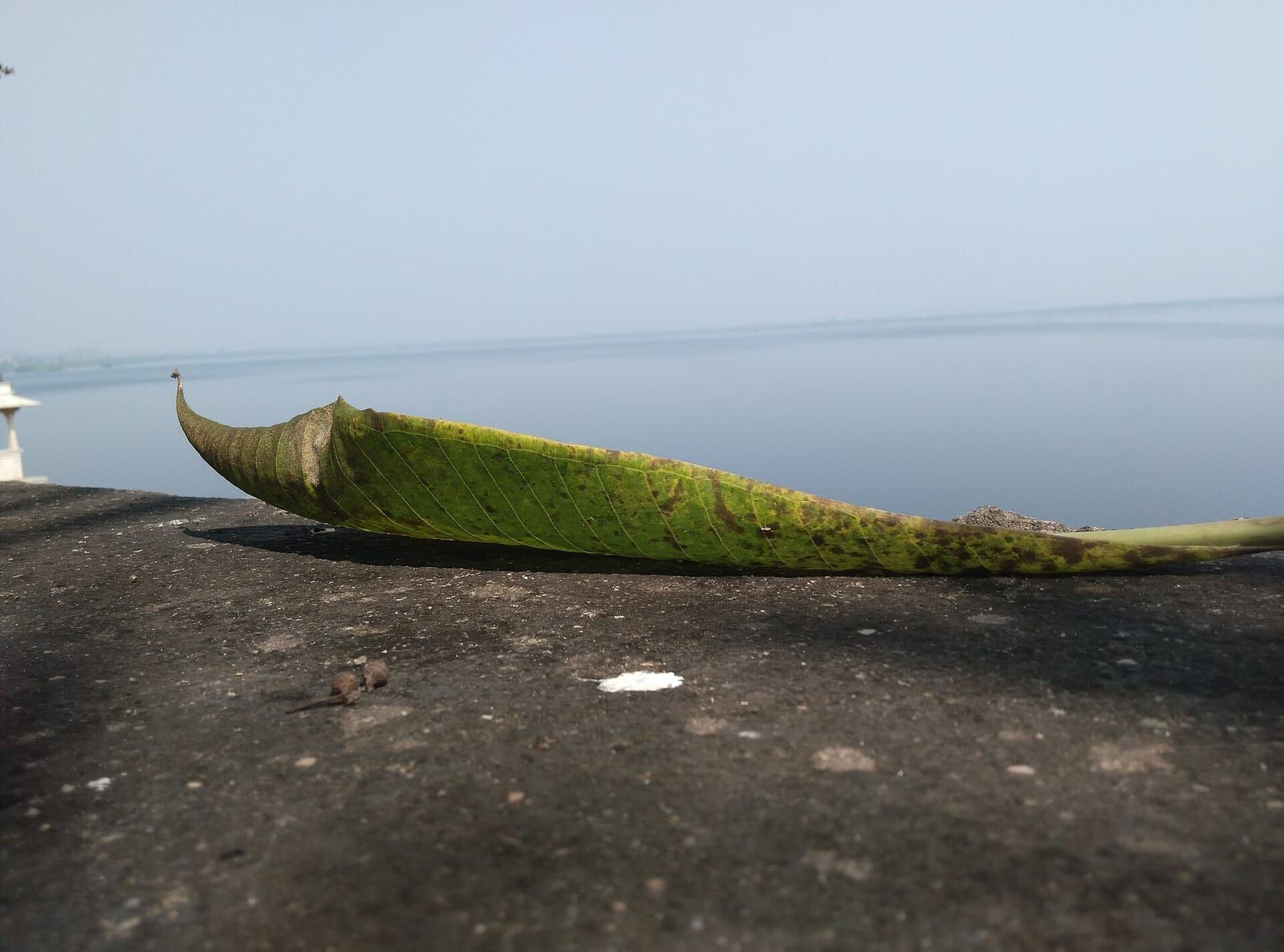
TIMES of RAJASTHAN · DARSHAN
Rajsamand Darshan — Kumbhalgarh Fort, Nathdwara, Shrinathji
Rajsamand district in Rajasthan is a blend of cultural heritage and natural beauty.
In detail
Rajsamand district is a district of Rajasthan, India, with its headquarters in the city of Rajsamand. It was formed on 10 April 1991 from parts of Udaipur district.
Overview
Rajsamand district is a district of the state of Rajasthan in western India, with its administrative headquarters in the city of Rajsamand. The district was created on 10 April 1991 when it was carved out of Udaipur district, comprising seven tehsils: Bhim, Deogarhan, Amet, Kumbhalgarh, Rajsamand, Nathdwara, and Railmagra.
The city of Rajsamand, which serves as the district headquarters, derives its name from Rajsamand Lake. This artificial lake was constructed in the 17th century by Rana Raj Singh of the Mewar kingdom, and it remains a notable landmark of the area.
Rajsamand district is part of the larger Mewar region of Rajasthan, and its formation has contributed to the administrative organization of the state by providing a distinct jurisdiction separate from the former Udaipur district.
Geography and climate
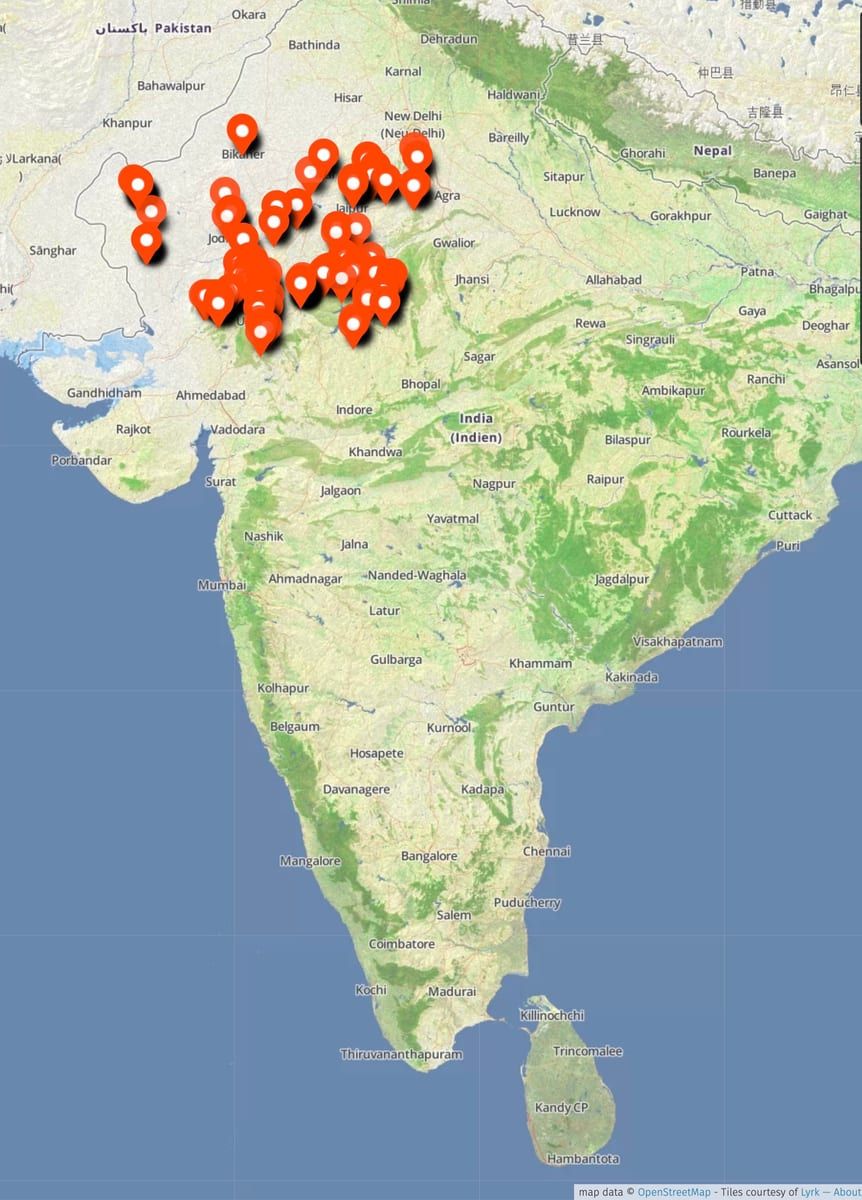
The Rajsamand district covers an area of 4,768 km² and is situated in the state of Rajasthan, India. Its terrain is bounded to the northwest by the Aravalli Range, beyond which lies Pali District. To the north the district borders Beawar District, while Bhilwara District lies to the northeast and east, Chittorgarh District to the southeast, and Udaipur District to the south.
The district lies within the watershed of the Banas River and its tributaries, which shape the local drainage pattern. Additional rivers that flow through the area include the Ari, Gomati, and Chandrabhaga, contributing to the region’s water resources.
Rajsamand town, the administrative centre of the district, is positioned at latitude 25.07° N and longitude 73.88° E. The town sits at an average elevation of 547 metres (1,794 ft) above sea level, reflecting the modest altitude of the surrounding landscape.
People and languages
The 2011 Census of India recorded that the majority of Rajsamand district’s residents speak Mewari as their mother tongue, accounting for 75.36% of the population. A significant minority, 17.19%, reported speaking Rajasthani, while Hindi was the first language for 4.30% of inhabitants. An additional 0.97% identified Marwari as their primary language, reflecting the linguistic diversity within the district.
These language figures correspond with the district’s overall demographic profile, which in 2011 had a total population of 1,156,597. The population density stood at 302 inhabitants per square kilometre, and the sex ratio was nearly balanced with 988 females for every 1,000 males. Literacy in the district was recorded at 63.93%, indicating that a substantial portion of the population is literate, though the rate varies across different communities.
Urbanisation remains limited, with only 15.89% of the district’s residents living in urban areas. The remaining population is spread across rural settings where traditional languages such as Mewari and Rajasthani continue to dominate daily communication. Scheduled Castes and Scheduled Tribes together constitute about 26.71% of the district’s population, further contributing to its cultural and linguistic mosaic.
Economy and agriculture
The economy of Rajsamand district reflects the broader pattern of Rajasthan, where agriculture forms the primary livelihood for most residents. While the district’s agricultural activities sustain a large portion of the population, the region is also distinguished by its abundant mineral wealth.
Rajsamand is a major supplier of marble, granite and other valuable stone varieties within India, contributing significantly to the state’s mining sector. In addition to stone, the district hosts important metal ore mines such as Dariba, Sindesar Khurd and Zawar, which are among the principal sources of zinc, silver and manganese in the country.
A substantial share of the district’s workforce is employed in both organised and unorganised mining-related occupations, reflecting the importance of these extractive industries to local livelihoods. Beyond mining, some residents are employed in manufacturing, including tyre production and tobacco processing, further diversifying the economic base of the district.
Culture, fairs and places to see
Rajsamand district, nestled amid the wide ranges of the Aravalli, offers a variety of natural and historical attractions that reflect the region’s cultural heritage. The district is home to the expansive Rajsamand Lake, a prominent landmark that draws visitors for its scenic beauty and its role in the local landscape. Nearby, the historic Goram Ghat provides a picturesque spot along the lake’s edge, adding to the district’s appeal for both residents and tourists.
Among the notable religious sites, the Charbhuja Temple in Garhbor and the Dwarkadhish Temple stand out as important places of worship, embodying the spiritual traditions of the area. The Shrinathji Temple in Nathdwara, renowned for its devotion, further highlights the district’s rich religious fabric. These temples not only serve as centers of faith but also as venues for cultural gatherings and festivals that are integral to community life.
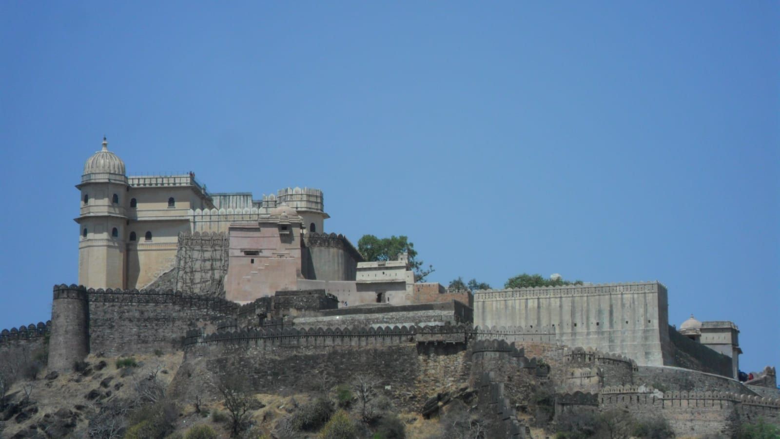
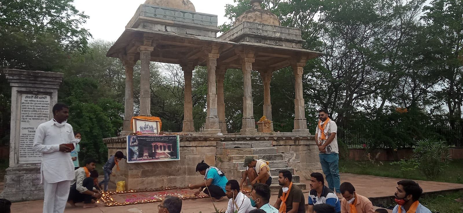
The district’s historical significance is underscored by sites such as Kumbhalgarh, a fortress famed for its massive walls, and the Victory memorial at Dewair, which commemorates past triumphs. The town of Deogarh adds to the historical tapestry with its own legacy, while the battlefield of Haldighati evokes memories of historic conflicts. Additionally, the Kumbhalgarh Wildlife Sanctuary and the Todgarh Raoli Sanctuary protect the region’s biodiversity, offering opportunities for nature‑based tourism alongside cultural exploration.
Rajsamand’s proximity to other prominent destinations—Udaipur, Jaipur, Chittorgarh, Pali, Jaisalmer, and Ranuja—enhances its position as a hub for travelers seeking a blend of natural beauty, historical depth, and spiritual experiences within Rajasthan.
Based on: the Wikipedia article (CC BY-SA 4.0) — facts from that source; edited and translated by Times of Rajasthan.
More visual stories
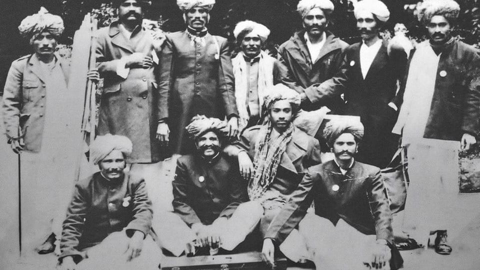 Folk musicKesariya Balam — the songs of the ManganiyarsMaand singing from the Thar, the hum of the kamaicha and the clack of the khartal.5 scenes · with music · ♥ 11
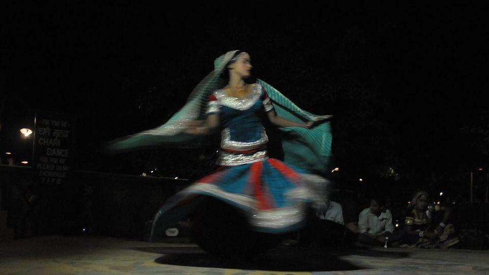 Folk danceGhoomar — the dance of the swirling skirtSwirling ghagras, flowing veils and clapping rhythms at Gangaur, Teej and weddings.3 scenes · with music · ♥ 13
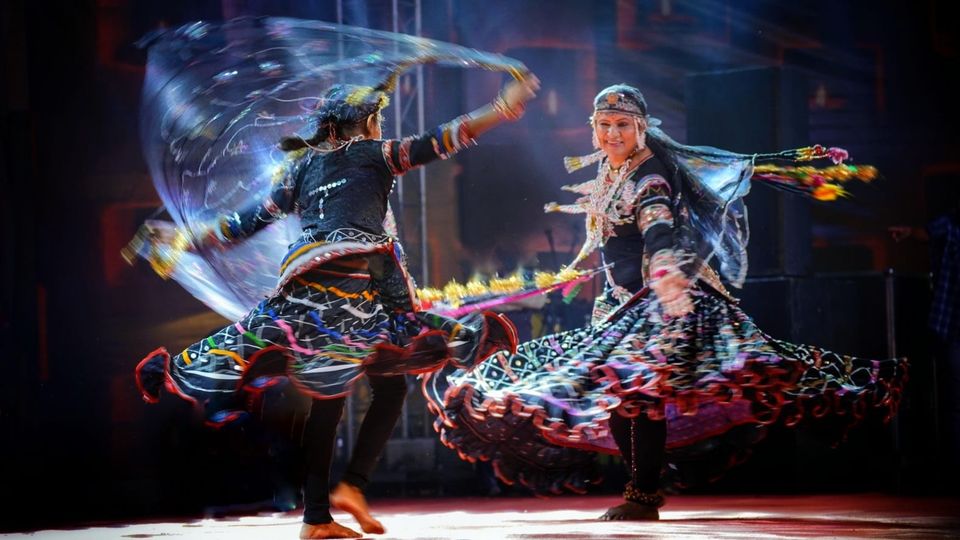 Folk danceKalbeliya — the serpent dance, a UNESCO heritageBodies sway like serpents to the pungi; on UNESCO’s intangible heritage list since 2010.4 scenes · with music · ♥ 1
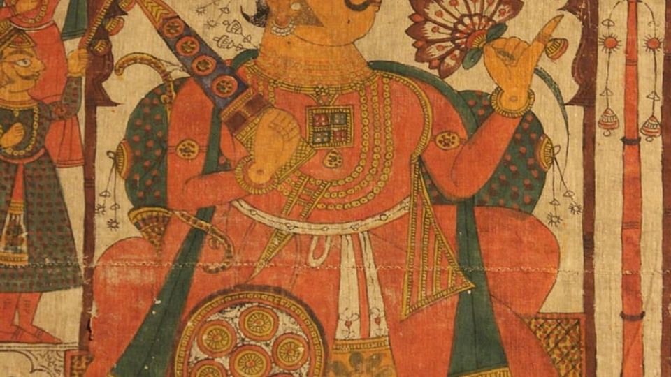 PaintingPhad and Ravanahatha — a story that travelsThrough the night, the bhopa and bhopi sing the epic of folk deities before the phad, to the ravanahatha.4 scenes · with music · ♥ 5
Photos: Bhawana Gururani / Wikimedia Commons (CC BY-SA 4.0) · Ms Sarah Welch / Wikimedia Commons (CC BY-SA 4.0) · Rajsamand / Wikimedia Commons (CC BY-SA 4.0) · Rahul sadhwani / Wikimedia Commons (CC BY-SA 4.0)