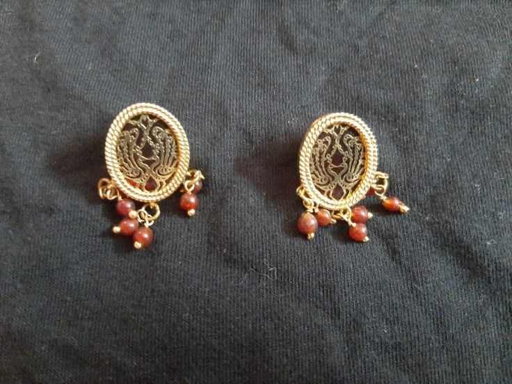
Pratapgarh Darshan — Thewa jewellery, Sitamata sanctuary
Pratapgarh, Rajasthan is a district rich in culture and nature, offering a unique blend of art, wildlife, and local life.
TIMES of RAJASTHAN · DARSHAN
Pratapgarh Darshan — Thewa jewellery, Sitamata sanctuary
Pratapgarh, Rajasthan is a district rich in culture and nature, offering a unique blend of art, wildlife, and local life.
In detail
Pratapgarh district, the 33rd district of Rajasthan, was created on 26 January 2008 with Pratapgarh town as its headquarters. It spans 4,411.36 km², has a population of 867,848 (2011) and is known for its Thewa jewellery and opium cultivation.
History
The district’s lineage of rulers traces back to the Sisodia clan of the Mewar Rajputs, who were known as the rulers of Partabgadh‑Raj. In modern times, the political re‑organisation of the state led to Pratapgarh being declared an independent district by the then Chief Minister Vasundhara Raje in 2008. The new district, recognised as the 33rd district of Rajasthan, officially came into existence on 26 January 2008 and initially comprised five tehsils – Pratapgarh, Chhotee Sadri, Dhariyawad, Arnod and Peepal Khoont.
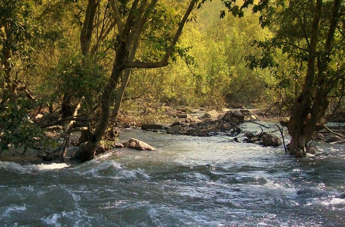
Although the district is dotted with a number of ancient and historical sites, it lacks formally protected monuments. Several archaeological locations remain largely unexplored, such as Avleshwara, Ghotaavarshika (also called Ghotarsi), Sidheriya, Gandharvpur (Gandher) Jaanagarh, Veerpur and others. The Sita Mata sanctuary within the district contains pre‑historic rock engravings, indicating a long history of human activity.
Among the notable historic structures is the Old Suryanarayan temple in Ghotarasi village, situated about ten kilometres from the town centre. Another significant shrine is the Gotameswara temple, an ancient lord Shiva temple located roughly eighteen kilometres from Pratapgarh near Arnod. Local tradition holds that this temple is linked by a secret tunnel, allegedly constructed by the Pandavas during their period of exile, which connects the site to the city of Ujjain.
Geography and climate
Pratapgarh district lies at 24.03° N 74.78° E and rests at an average elevation of about 580 metres (1,610 feet) above mean sea level, making it one of the higher‑lying areas of Rajasthan after Mount Abu. The district occupies a position at the junction of the Aravalli mountain ranges and the Malwa Plateau, a setting that imparts geological features of both regions.
The district covers roughly 4,11,736 hectares, of which about 1,20,976 hectares are classified as forest land. Four of the five sub‑divisions, excluding Chhoti Sadri, are designated as notified forest blocks, where major industrial or mining operations are prohibited by law.
The climate receives an average annual rainfall of 856 mm. Soils are predominantly highly fertile black cotton soil, described as being derived from volcanic magma. The main rivers flowing through the district are the Jakham, Mahi, and Siwana (also known as Shiv), while seasonal streams such as the Som, Era, and Karmoi appear during the monsoon.
In the non‑forest portions of Chhoti Sadri and parts of Pratapgarh and Dhariyawad, small‑scale mining is permitted. Extracted minerals include red ochre, calcite, dolomite, quartz, feldspar and soapstone, with limited quantities of marble, building‑stone and limestone also present.
People and languages
The 2011 census recorded a population of 867,848 for Pratapgarh district, with a near‑equal sex ratio of 982 females per 1,000 males and a literacy rate of 56.3 percent. The district is predominantly rural, as only 8.27 percent of its residents live in urban areas, and the population density was reported as 211 inhabitants per square kilometre. Scheduled Tribes form the majority of the social composition, accounting for 63.42 percent of the population, while Scheduled Castes represent 6.96 percent.
Children under six years of age numbered 150,518, making up 17.34 percent of the district’s total population. The child sex ratio stood at 933 girls per 1,000 boys, slightly lower than the overall sex ratio. These demographic trends reflect a modest decline in the proportion of young children compared with the 2001 census.
Language use in Pratapgarh is diverse. According to the 2011 census, the largest linguistic groups are speakers of Mewari (26.10 percent) and Wagdi (26.90 percent). Rajasthani is spoken by 17.25 percent of the population, while Malvi accounts for 20.71 percent. Hindi, the official language of the state, is the first language for 7.98 percent of residents. This multilingual profile highlights the cultural variety within the district.
Administration
The administration of Pratapgarh district is headed by a District Collector, who oversees all governmental functions within the district. The Collector is responsible for coordinating the work of various departments and ensuring the implementation of policies across the district’s territory.
Pratapgarh district is divided into five sub‑divisions: Arnod, Chhoti Sadri, Dhariawad, Peepal Khoont and Pratapgarh. Each sub‑division functions as an administrative unit under the overall supervision of the District Collector, facilitating local governance and service delivery.
Within these sub‑divisions, the district comprises numerous revenue villages. Arnod Tehsil contains 178 revenue villages, Chhoti Sadri Tehsil has 141, Dhariawad Tehsil includes 249, Peepal Khoont Tehsil comprises 23, and Pratapgarh Tehsil encompasses 330 revenue villages. These villages form the basic units of administration, reporting up through the sub‑division structure to the district level.
The district’s administrative framework thus integrates the District Collector’s oversight with the sub‑division and village-level structures, ensuring that governance and development initiatives are managed throughout Pratapgarh district.
Economy and agriculture
Pratapgarh district is noted as one of the greenest districts of Rajasthan, with agriculture forming the backbone of its economy. The region cultivates a variety of major crops including wheat, barley, maize, groundnuts, soybeans, gram, mustard and several pulses, while opium also occupies a significant place among its agricultural products. In 2011, licensed opium cultivation by 6,781 farmers yielded precisely 1,585,373.410 kilograms, according to the District Opium Officer’s statistics.
Agricultural activity occurs both in the valleys and on the tableland hilltops, reflecting the district’s diverse terrain. Approximately 40 % of the total geographical area consists of common lands, of which about 30 % are classified as forest land. The district is designated as a Schedule V area, predominantly inhabited by tribal communities whose average landholdings are small. Canal irrigation is limited to the tehsils of Dahriyawad and Peepal Khoont, so most farming relies on rain‑fed methods.
The tribal population supplements its livelihood with forest resources, gathering food, fodder and fuel wood. Seasonal migration is common, with many community members seeking work as farm‑labourers or construction workers in nearby towns of Gujarat and Madhya Pradesh.
Production figures illustrate the district’s agricultural output: wheat reached 190,585 metric tons in 2009–10, maize 128,984 metric tons, soybean 169,133 metric tons, and mustard 8,296 metric tons. A modest rice harvest of 989 metric tons was also recorded during the same period.
Education and transport
Pratapgarh district enjoys extensive road connectivity, linking it to major cities across Rajasthan, Gujarat, and Madhya Pradesh. Daily bus services operate to destinations such as Chittaurgarh, Banswara, Udaipur, Dungarpur, Rajsamand, Jodhpur, Jaipur, Neemach, Ratlam, Mandsaur, and Delhi, while private operators also run regular routes from nearby towns. The district’s road network spans 1,879 kilometres and supports more than 7,500 registered light and heavy vehicles.
Despite its road links, Pratapgarh remains the only district in Rajasthan without rail connectivity. Persistent advocacy by former district collector Hemant Shesh led the state government to seek a broad‑gauge railway line from Mandsaur, just 32 kilometres away. The proposal was publicly affirmed by Chief Minister Ashok Gahlot in May 2011, and the Railway Ministry announced a survey for the new line in the 2012‑13 Railway Budget, placing it among 111 new line surveys slated for that period.
In addition to road and prospective rail infrastructure, the district is developing air transport facilities. An airstrip is under construction in Varmandal village, located 13 kilometres from the town of Pratapgarh, following approval by the Rajasthan government in April 2011. Meanwhile, temporary helipads are operational at four locations within the district—Pratapgarh, Dhariyawad, Peepalkhoont, and Chhoti Sadri—providing limited aerial access.
Based on: the Wikipedia article (CC BY-SA 4.0) — facts from that source; edited and translated by Times of Rajasthan.
More visual stories
 Folk musicKesariya Balam — the songs of the ManganiyarsMaand singing from the Thar, the hum of the kamaicha and the clack of the khartal.5 scenes · with music · ♥ 11
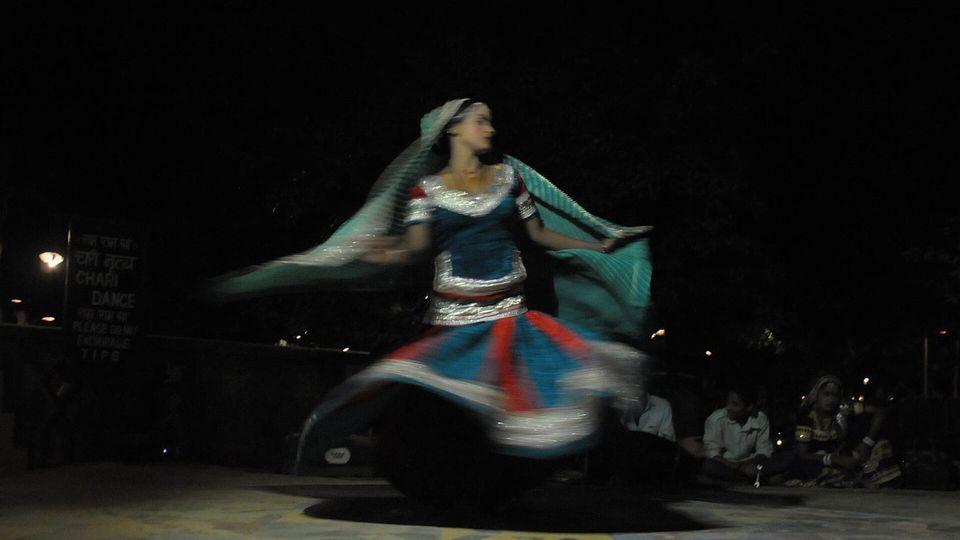 Folk danceGhoomar — the dance of the swirling skirtSwirling ghagras, flowing veils and clapping rhythms at Gangaur, Teej and weddings.3 scenes · with music · ♥ 13
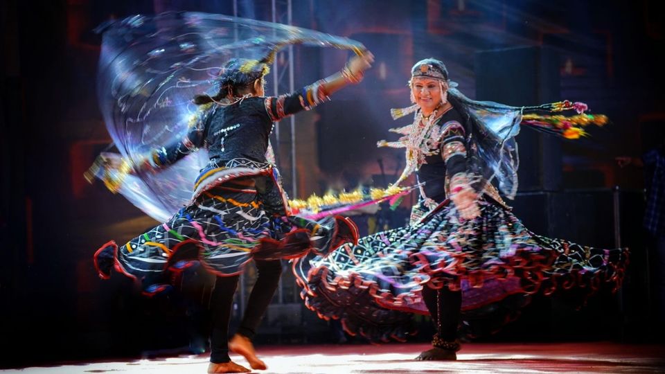 Folk danceKalbeliya — the serpent dance, a UNESCO heritageBodies sway like serpents to the pungi; on UNESCO’s intangible heritage list since 2010.4 scenes · with music · ♥ 1
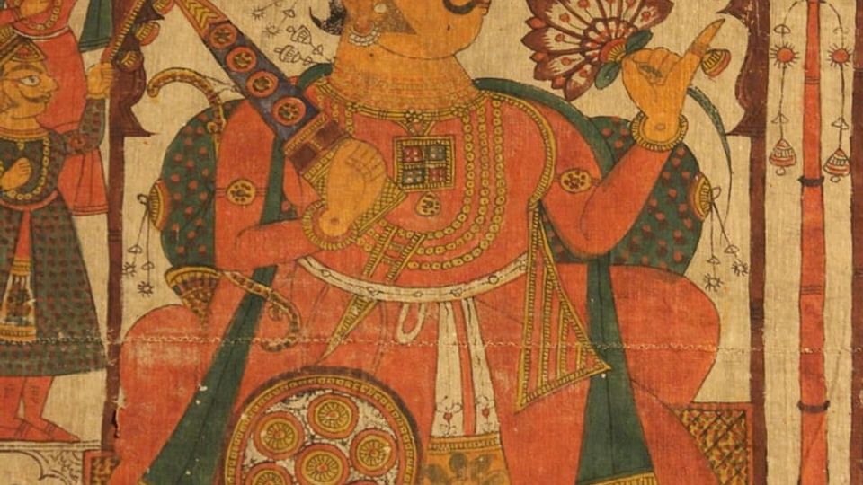 PaintingPhad and Ravanahatha — a story that travelsThrough the night, the bhopa and bhopi sing the epic of folk deities before the phad, to the ravanahatha.4 scenes · with music · ♥ 5
Photos: SpeakingArch / Wikimedia Commons (CC BY-SA 4.0) · Hemant Shesh / Wikimedia Commons (CC0)