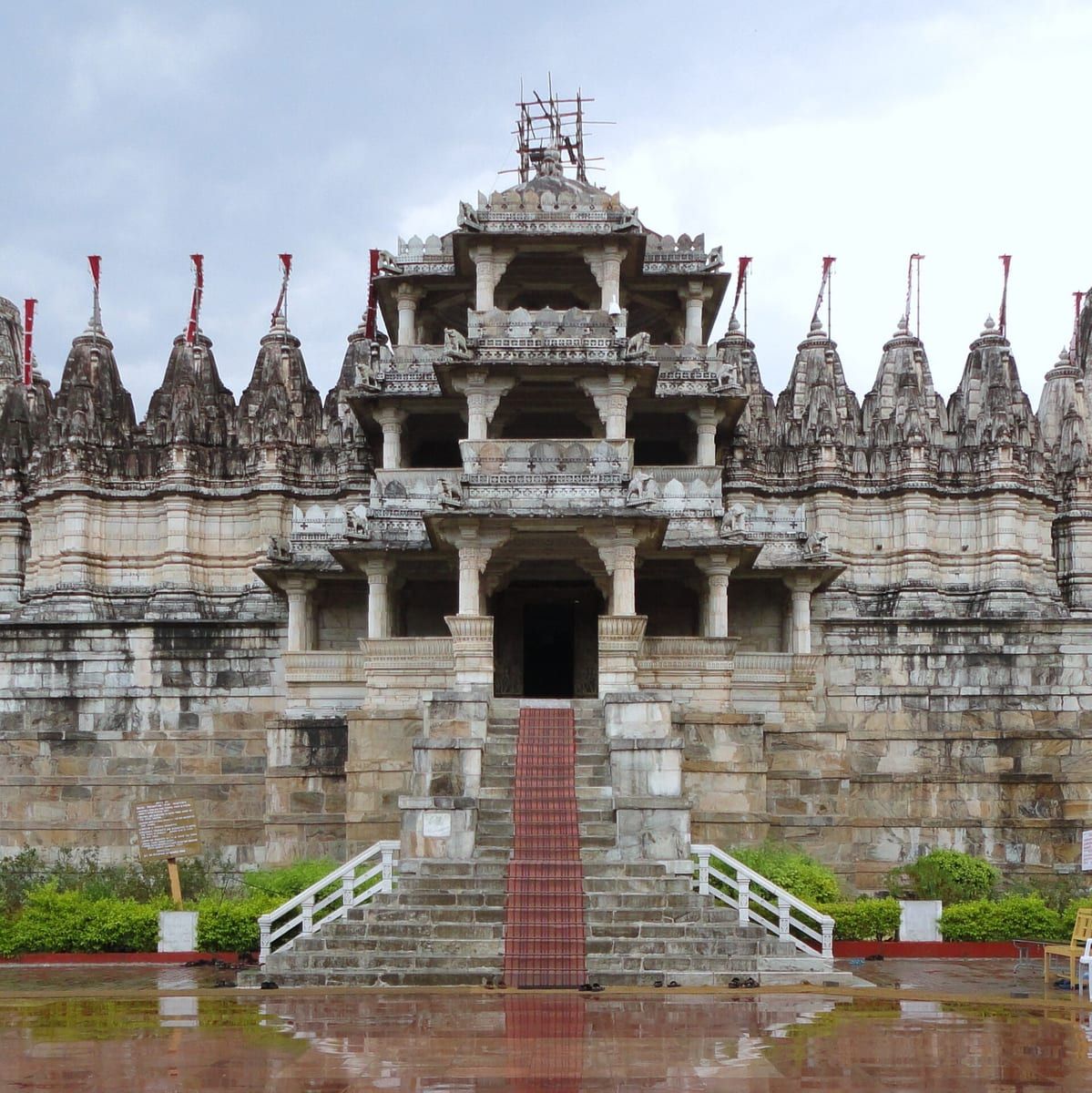
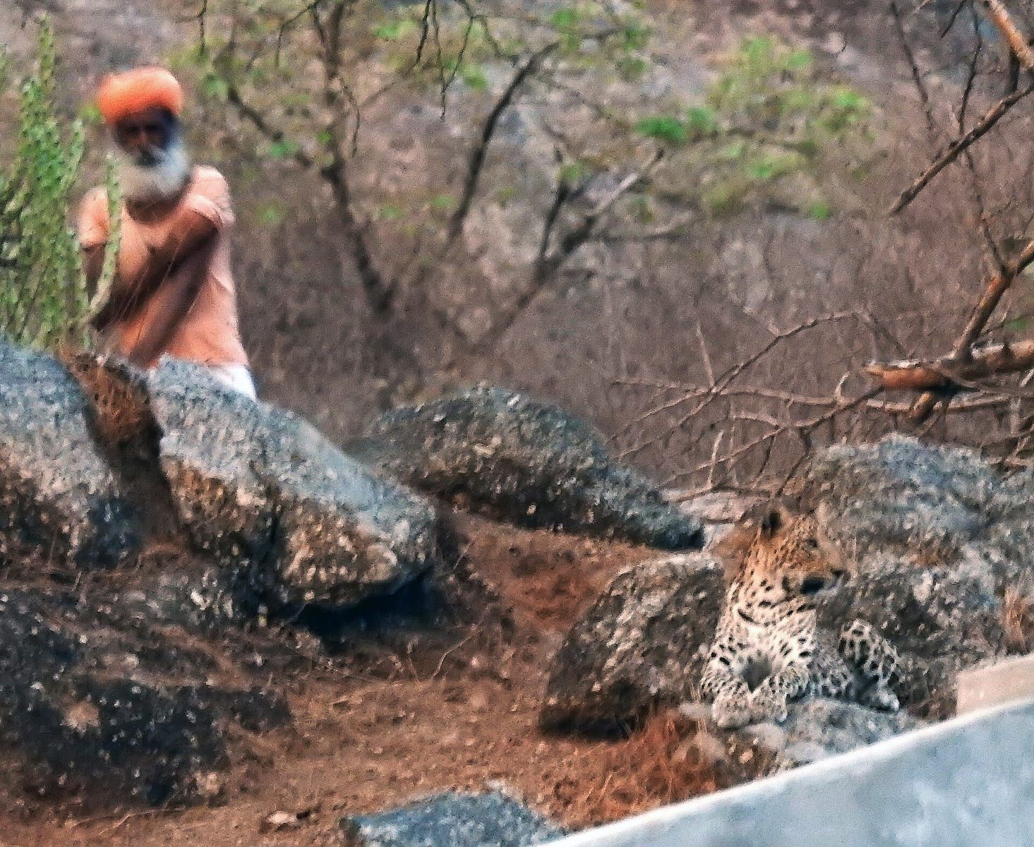
Pali Darshan — Ranakpur Jain temple, Jawai leopards
Pali district in Rajasthan is a vibrant region where culture and nature blend together.
TIMES of RAJASTHAN · DARSHAN
Pali Darshan — Ranakpur Jain temple, Jawai leopards
Pali district in Rajasthan is a vibrant region where culture and nature blend together.
In detail
Pali district is a district in Rajasthan, India, with its administrative headquarters in the city of Pali. It has a rich historical background and diverse geography bounded by eight neighboring districts.
Overview
Pali district is located in the Indian state of Rajasthan, with the city of Pali serving as its administrative headquarters. The district has earned a reputation as the Industrial/Textile City, reflecting its long history as a center for merchant activities that stretches back several centuries.
The region is noted for its rich heritage and culture, which is evident in the numerous beautiful Jain temples and other elaborate monuments that dot the landscape. These structures showcase the artistic and architectural traditions that have been preserved over time.
The city of Pali itself has become a focal point for trade and industry, drawing businesses and workers from across the state. Its status as a commercial hub has contributed to the growth of the district’s economy and the development of its infrastructure.
The district’s cultural significance is further highlighted by the presence of historic religious sites, which attract visitors interested in the region’s spiritual and architectural legacy. These sites play a key role in maintaining the cultural identity of Pali district.
Overall, Pali district combines industrial vigor with a deep cultural heritage, making it a distinctive part of Rajasthan’s social and economic landscape.
History
In 120 AD, during the Kushana Age, King Kanishka conquered the Rohat and Jaitaran areas, parts of today’s Pali district. Until the end of the seventh century, the Pushyabhuti king Harshavardhana ruled the area, along with other parts of what would be Rajasthan. From the 10th to the 15th century, the boundaries of Pali extended to Mewar, Gorwar, and Marwar, with Nadol serving as the capital of the Chauhan clan. All Rajput rulers resisted foreign invaders, but individually fought each other for land and leadership. After the defeat of Prithviraj Chauhan by Muhammad Ghori, the Rajput power in the area was removed. The Godwad area became subject to the then‑ruler of Mewar, Maharana Kumbha; however, Pali, which was ruled by Rajputs with the patronage of neighbouring Rajput rulers, remained peaceful and progressive.
There were a number of battles in the surrounding areas of Pali in the 16th and 17th centuries. Shershah Suri defeated Rajput rulers in the Battle of Sammel near Jaitaran, and the Mughal emperor, Akbar, constantly battled with Maharana Pratap in the Gorwar area. After the Mughals had conquered almost all of Rajputana, Veer Durgadas Rathore of Marwar made organised efforts to take back Marwar from Aurangzeb, the last Mughal emperor. By then, Pali had become subservient to the Rathores of Marwar, and was reclaimed by Maharaja Vijay Singh before becoming a commercial centre.
During the British era in 1857, various Thakurs of Pali under the stewardship of the Thakur of Auwa fought against British rule. The British army surrounded Auwa Fort and the conflict lasted several days. Geologists trace the settlement at Pali back to prehistory and maintain that Pali emerged from the vast western sea, which was spread over a large part of present‑day Rajasthan. In the Vedic period, Maharshi Javali stayed in the area to meditate and interpret the Vedas. In the Mahabharata age, the Pandavas made this area (near Bali) their resting place during exile. As a part of ancient Arbuda Province, the area was known as Balla‑Desh.
People and languages
Pali district, as recorded in the 2011 census, had a population of 2,037,573, ranking 255th out of 640 districts in Rajasthan and 225th in India. The population growth rate over the decade 2001–2011 was 11.99%. The sex ratio was 987 females for every 1000 males, and the literacy rate stood at 63.23%. Urban residents accounted for 22.58% of the population. Scheduled Castes and Scheduled Tribes comprised 19.54% and 7.10% of the population respectively.
Following the reorganisation of districts, the new Pali district recorded a population of 1,605,543. The sex ratio remained similar at 986 females per 1000 males, while 27.24% of residents lived in urban areas. Scheduled Castes and Scheduled Tribes made up 19.80% and 8.90% of the population respectively.
Language use in the district reflects the regional linguistic landscape. At the 2011 census, 59.45% of the population spoke Rajasthani, 35.17% spoke Marwari, and 3.24% spoke Hindi as their first language. An additional 1.43% spoke other languages classified under Hindi.
The district’s name, Pali, is also associated with a broader linguistic influence. Pali has impacted several languages across mainland Southeast Asia and South Asia, including Burmese, Khmer, Lao, Sinhala, and Thai. In Cambodia, Pali replaced Sanskrit as a prestige language in the 13th century, and later scholars used Pali roots to coin modern terms. In Thailand and Laos, scholars such as Jit Bhumisak and King Vajiravudh coined new words from Pali roots to describe foreign concepts. In Myanmar, Burmese has adopted thousands of Pali loanwords, especially in religion, government, arts, and science, and has incorporated Pali roots into neologisms and grammatical structures. In Sri Lanka, Pali has enriched Sinhala literature since the Anuradhapura period, with chronicles like the Dipavamsa and Mahavamsa written in Pali verse.
Administration
Pali district is administratively divided into ten sub‑divisions, namely Sojat, Marwar Junction, Jaitaran, Raipur, Sumerpur, Bali, Pali, Rohat, Rani and Desuri. Each of these sub‑divisions functions as a local governance unit, coordinating development activities and public services within its jurisdiction.
In addition to the sub‑divisions, the district is organized into ten tehsils. The tehsils correspond largely to the sub‑divisions, with the exception that Rani has recently been declared as the tenth tehsil. The tehsils are Sojat, Marwar Junction, Jaitaran, Raipur, Sumerpur, Bali, Pali, Rohat and Desuri.
Marwar Junction Tehsil stands out for its extensive rural landscape, hosting the highest number of villages in the district at 142. This contrasts with Sumerpur Tehsil, which contains the fewest villages, numbering 42. The distribution of villages reflects the varied settlement patterns across the district.
The administrative structure of Pali district, with its sub‑divisions and tehsils, facilitates localized governance and ensures that the needs of both urban and rural communities are addressed through a tiered system of administration.
Based on: the Wikipedia article (CC BY-SA 4.0) — facts from that source; edited and translated by Times of Rajasthan.
More visual stories
 Folk musicKesariya Balam — the songs of the ManganiyarsMaand singing from the Thar, the hum of the kamaicha and the clack of the khartal.5 scenes · with music · ♥ 11
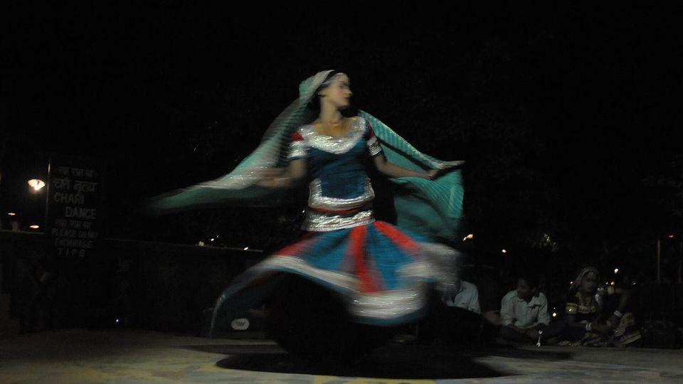 Folk danceGhoomar — the dance of the swirling skirtSwirling ghagras, flowing veils and clapping rhythms at Gangaur, Teej and weddings.3 scenes · with music · ♥ 13
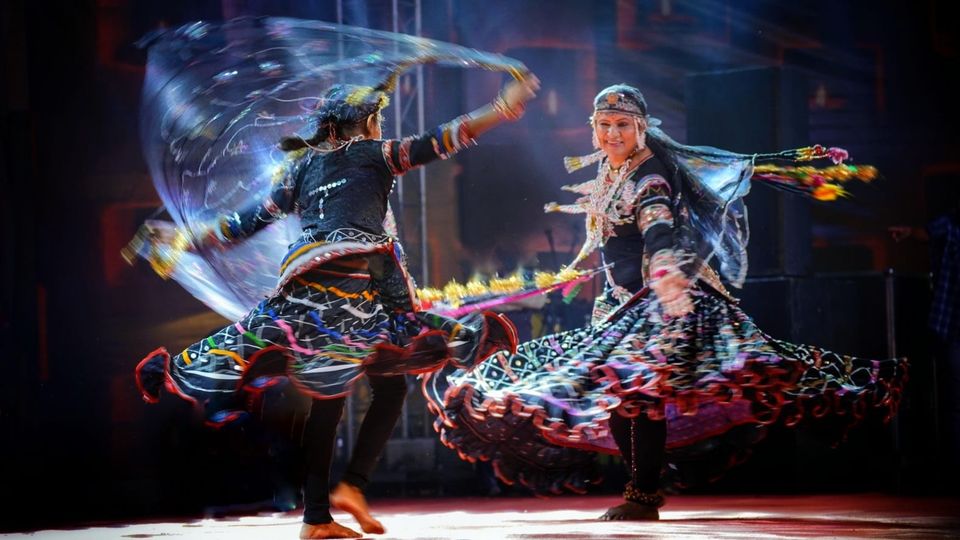 Folk danceKalbeliya — the serpent dance, a UNESCO heritageBodies sway like serpents to the pungi; on UNESCO’s intangible heritage list since 2010.4 scenes · with music · ♥ 1
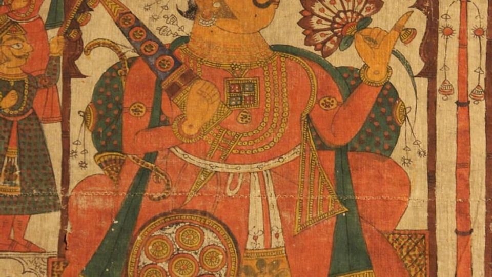 PaintingPhad and Ravanahatha — a story that travelsThrough the night, the bhopa and bhopi sing the epic of folk deities before the phad, to the ravanahatha.4 scenes · with music · ♥ 5
Photos: Hardikmodi / Wikimedia Commons (CC BY-SA 4.0) · Koushik Ranjan Das / Wikimedia Commons (CC BY-SA 4.0)