Karauli Darshan — Kaila Devi, Madan Mohan Ji temple
Karauli district in Rajasthan blends historic sites, wildlife and vibrant traditions.
TIMES of RAJASTHAN · DARSHAN
Karauli Darshan — Kaila Devi, Madan Mohan Ji temple
Karauli district in Rajasthan blends historic sites, wildlife and vibrant traditions.
In detail
Karauli district is a district in Rajasthan, western India, with its administrative headquarters in the town of Karauli. It has a population of about 1.46 million (2011) and an area of 5,043 km².
Overview
Karauli district is a district of the state of Rajasthan in western India. It is situated in the Braj Bhoomi region and is administered from the town of Karauli, which also serves as the district’s headquarters. The district falls under the jurisdiction of the Bharatpur Divisional Commissionerate.
According to the 2011 Indian census, Karauli district had a population of 1,458,248 people. This population was spread over an area that results in a density of 264 inhabitants per square kilometre.
The city of Karauli, formerly known as Kalyanpuri and also spelled Karoli or Karaulee, is located within the district. It holds religious significance in Hinduism and was the capital of the erstwhile princely state of Karauli. The city remains the administrative centre of the district and continues to be part of the Bharatpur Divisional Commissionerate.
History
Karauli was part of the ancient Matsya Kingdom, one of the 16 Mahājanapadas, during the period 1400-300 BCE. According to the legend of the Mahabharata, the area that is now Karauli, together with Alwar, belonged to this kingdom.
The modern princely state of Karauli was founded around 995 by Raja Bijai Pal Jadaun, who claimed descent from the Hindu god Krishna. The dynasty that ruled Karauli is said to be of Yaduvanshi Jadaun Rajputs.
In 1884 a municipality was established at Karauli. By 1892 the Maharaja’s military force consisted of 281 cavalry, 1,640 infantry and 56 guns, and he was entitled to a salute of 17 guns. The Maharaja’s palace, a handsome block of buildings, contains structures that date back to the mid‑18th century.
The British later occupied Karauli and ruled it until 1947. After independence the princely state ceased to exist as a sovereign entity.
Geography and climate
Karauli District covers an area of 5,043 square kilometres and is surrounded by Dholpur to the east, Bharatpur to the northeast, Dausa to the north, and Sawai Madhopur to the west. The Chambal River marks the southeastern boundary, lying about 5 kilometres from Mandrayal and forming a natural border with Madhya Pradesh.
The terrain is largely hilly and valley‑filled, with no peaks exceeding 450 metres. The district’s average elevation is 275 metres. Forests occupy roughly 30 % of the area, covering 172,459 hectares as of 2011.
Karauli experiences a sunny climate for most of the year. Average annual highs reach 35 °C and lows 23 °C, with extremes of 50 °C in May and 0 °C in January. Humidity during the dry season ranges from 31 % to 35 %, and the dew point lies between 11 °C and 15 °C.
Rainfall averages 668.86 mm per year, occurring on about 35 days annually, mainly during the South Asian Monsoon from June to September.
People and languages
Karauli district, according to the 2011 census, had a population of 1,458,248, making it the 340th most populous district in India. The population density was 264 inhabitants per square kilometre, and the district experienced a growth rate of 20.57% between 2001 and 2011. The sex ratio stood at 858 females for every 1,000 males, and the overall literacy rate was 67.34%. Urban residents comprised 14.96% of the population.
After the separation of Todabhim and Nadoti tehsils, the resulting district population was 1,056,170. The sex ratio remained 858 females per 1,000 males. Urban dwellers accounted for 18.48% of the population, with 195,128 people living in urban areas. Scheduled Castes and Scheduled Tribes represented 25.29% and 19.82% of the population, respectively.
Hindi is the predominant language in Karauli, spoken by 99.41% of the population. The district’s demographic profile includes a significant proportion of young residents, with 19% of the population under six years of age. The literacy rates vary by gender, with male literacy at 65% and female literacy at 41%, reflecting a gender gap in educational attainment.
In the town of Karauli itself, the population was 82,960, with males constituting 53% and females 47%. The average literacy rate in the town was 53%, below the national average of 59.5%. Male literacy in Karauli was 65%, while female literacy was 41%. These figures illustrate the broader demographic and linguistic characteristics of the district, highlighting the dominance of Hindi and the challenges related to gender disparities in education.
Culture, fairs and places to see
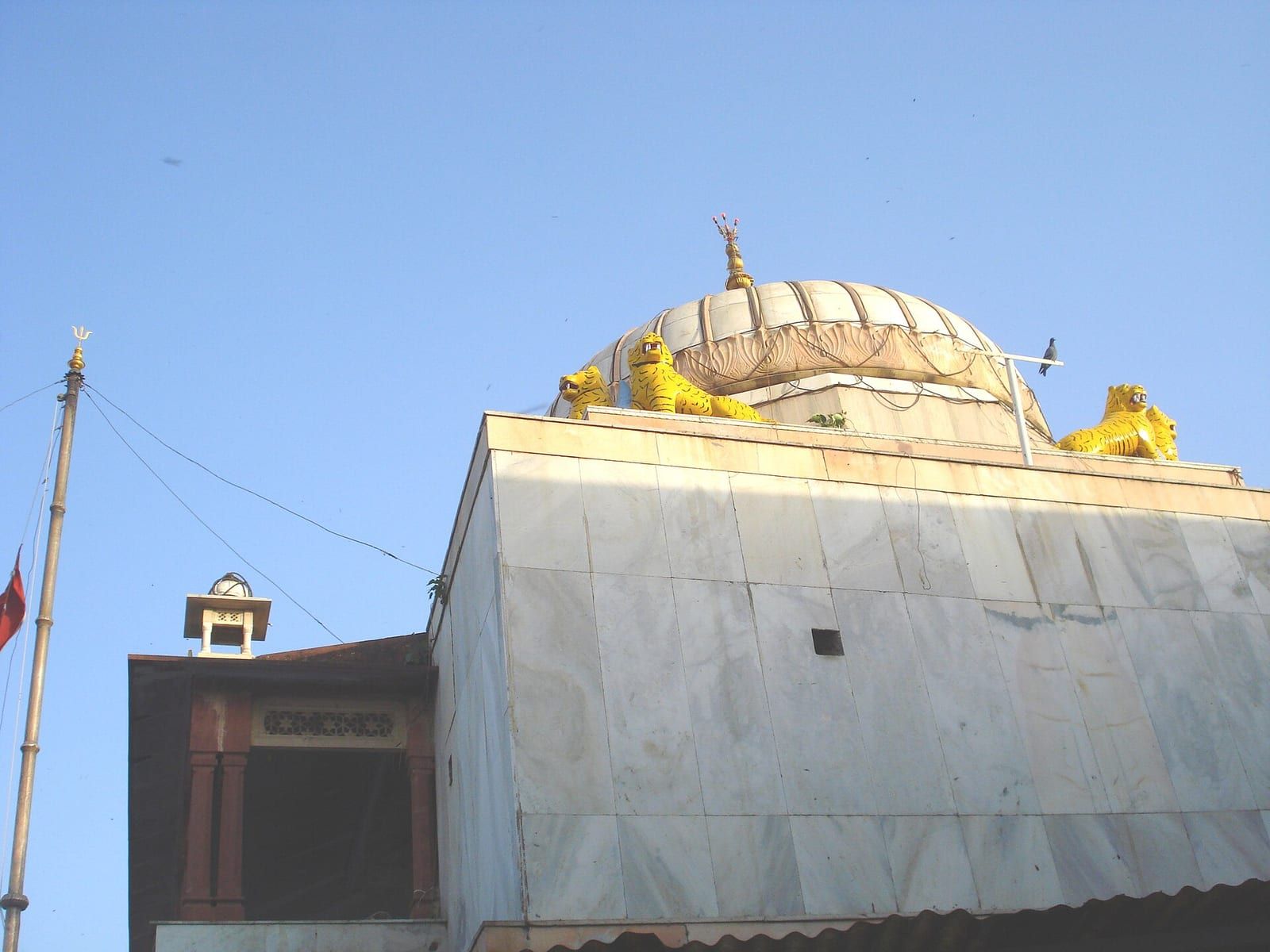
Kaila Devi Temple, situated 23 kilometres from Karauli on the banks of the Kalisil River, is a marble shrine dedicated to the tutelary deity of the Jadaun Rajput rulers. The temple’s courtyard is laid out in a checkered pattern and worshippers often plant red flags in one section of the complex.
Madan Mohan Temple, another significant site in the district, is devoted to the Hindu god Krishna. Nearby, the Mehandipur Balaji Temple, dedicated to Hanuman, is renowned for its ritualistic healing practices and exorcism of evil spirits, drawing pilgrims from across Rajasthan and beyond.
In the town of Hindaun, devotees visit Shri Mahavir Ji Temple and the Nakkash Ki Devi – Gomti Dham Temple, both important places of worship within the district.
Karauli’s attractions also include Mandrayal Fort and the Baithe Hanuman ji Temple, which together form part of the region’s rich religious tourism heritage.
Based on: the Wikipedia article (CC BY-SA 4.0) — facts from that source; edited and translated by Times of Rajasthan.
More visual stories
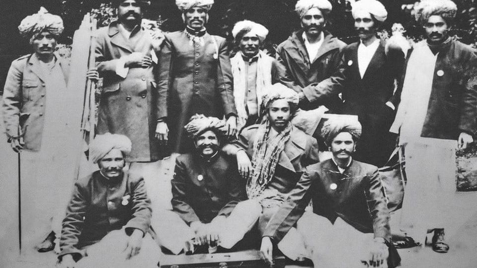 Folk musicKesariya Balam — the songs of the ManganiyarsMaand singing from the Thar, the hum of the kamaicha and the clack of the khartal.5 scenes · with music · ♥ 11
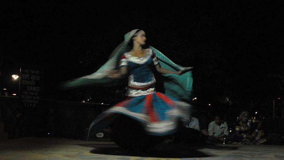 Folk danceGhoomar — the dance of the swirling skirtSwirling ghagras, flowing veils and clapping rhythms at Gangaur, Teej and weddings.3 scenes · with music · ♥ 13
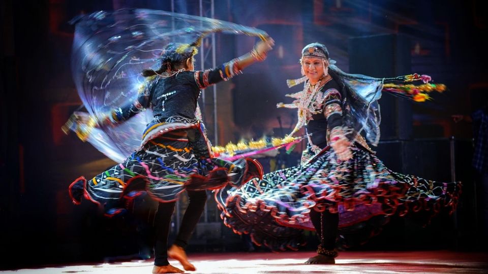 Folk danceKalbeliya — the serpent dance, a UNESCO heritageBodies sway like serpents to the pungi; on UNESCO’s intangible heritage list since 2010.4 scenes · with music · ♥ 1
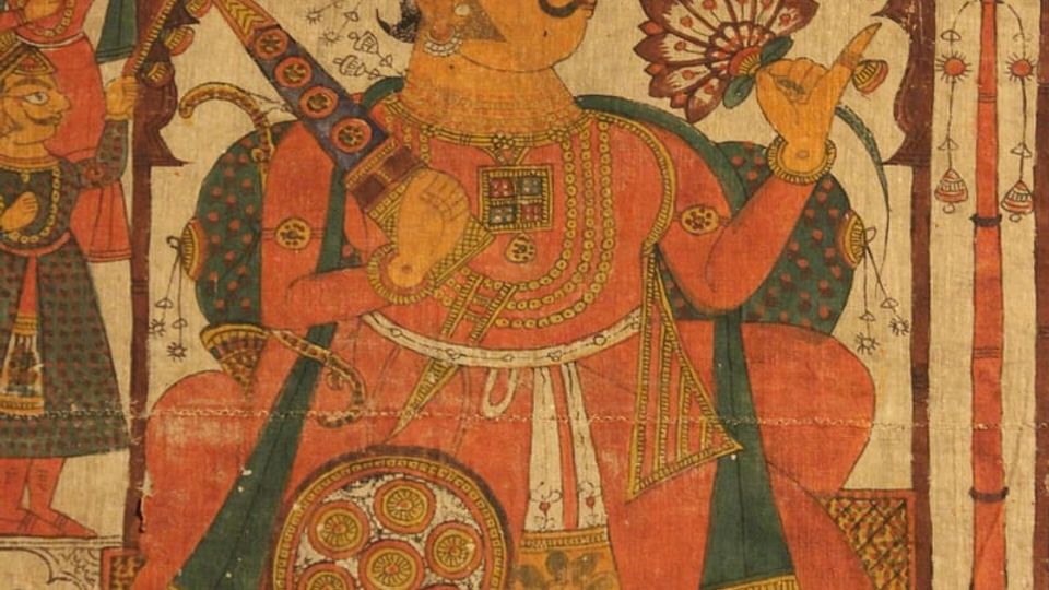 PaintingPhad and Ravanahatha — a story that travelsThrough the night, the bhopa and bhopi sing the epic of folk deities before the phad, to the ravanahatha.4 scenes · with music · ♥ 5
Photos: Gyanendrasinghchauha… / Wikimedia Commons (CC BY 3.0)