Dholpur Darshan — Dholpur sandstone, Chambal valley
Dholpur district in Rajasthan offers red stone, a tranquil Chambal valley, and natural serenity.
TIMES of RAJASTHAN · DARSHAN
Dholpur Darshan — Dholpur sandstone, Chambal valley
Dholpur district in Rajasthan offers red stone, a tranquil Chambal valley, and natural serenity.
In detail
Dholpur district is located in eastern Rajasthan with Dholpur town as its headquarters. It was created in 1982 from the former Bharatpur district and covers an area of 3,084 km².
Overview
Dholpur district lies in the eastern part of Rajasthan, Northern India, and forms part of the Bharatpur Divisional Commissionerate. The district was created on 15 April 1982 when it was carved out of the former Bharatpur District, and it encompasses an area of about 3,084 square kilometres. Its southern boundary is defined by the Chambal River, beyond which lies the state of Madhya Pradesh, while Uttar Pradesh borders the district to the east and northeast, Bharatpur district to the northwest, and Karauli district to the west.
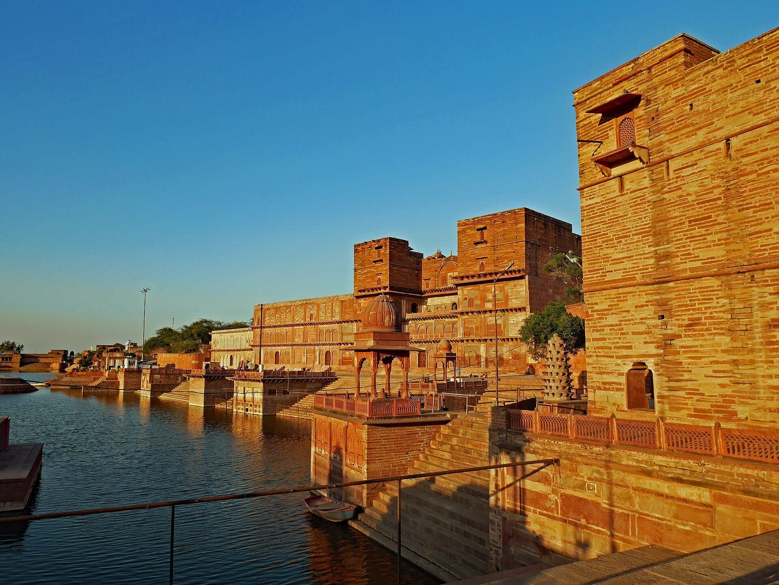
The terrain of Dholpur district is marked by deep ravines along the Chambal River and low ranges of hills in its western region, which provide quarries of fine‑grained, easily worked red sandstone. The district includes the tehsils of Dholpur, Rajakhera, Saramathura, Bari and Baseri, and its administrative centre is the town of Dholpur, situated on the left bank of the Chambal River.
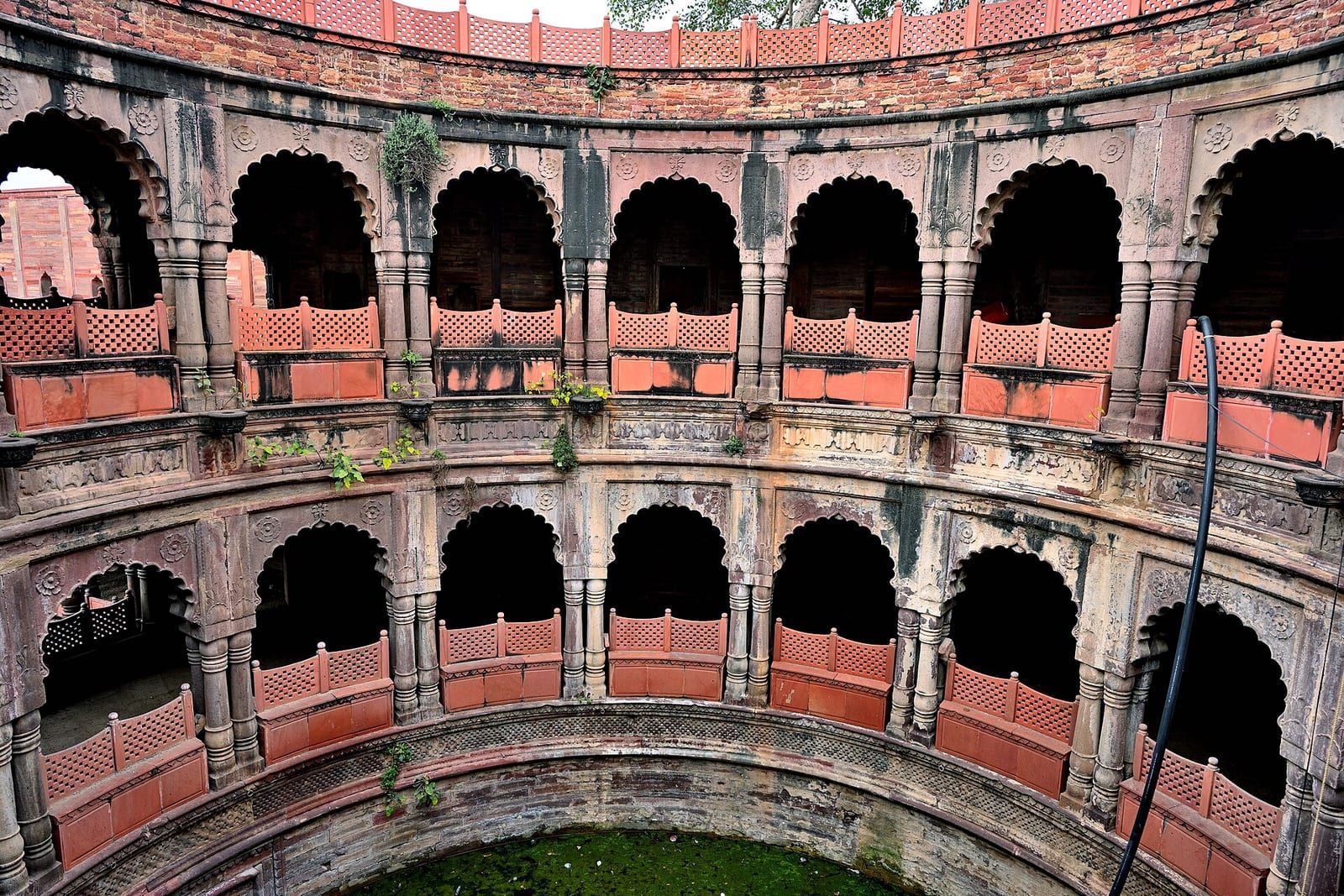
Dholpur town, the district headquarters, traces its origins to 1004 AD when it was founded by King Dhaval Dev of the Tomar dynasty and originally named Dhavalpuri. Over time the name evolved to Dholpur. The city is located 33 km from Morena, 57 km from Agra and 77 km from Gwalior, and it is noted for its red stone and several historic temples, including the Mahakaal Shiv Temple, Mahadev Temple near the Parvati River, and Bhooteshwar Mahadev Temple, as well as the Machkund temple and its famed kund known as “Tirthon ka Bhanja.”
Geography and climate
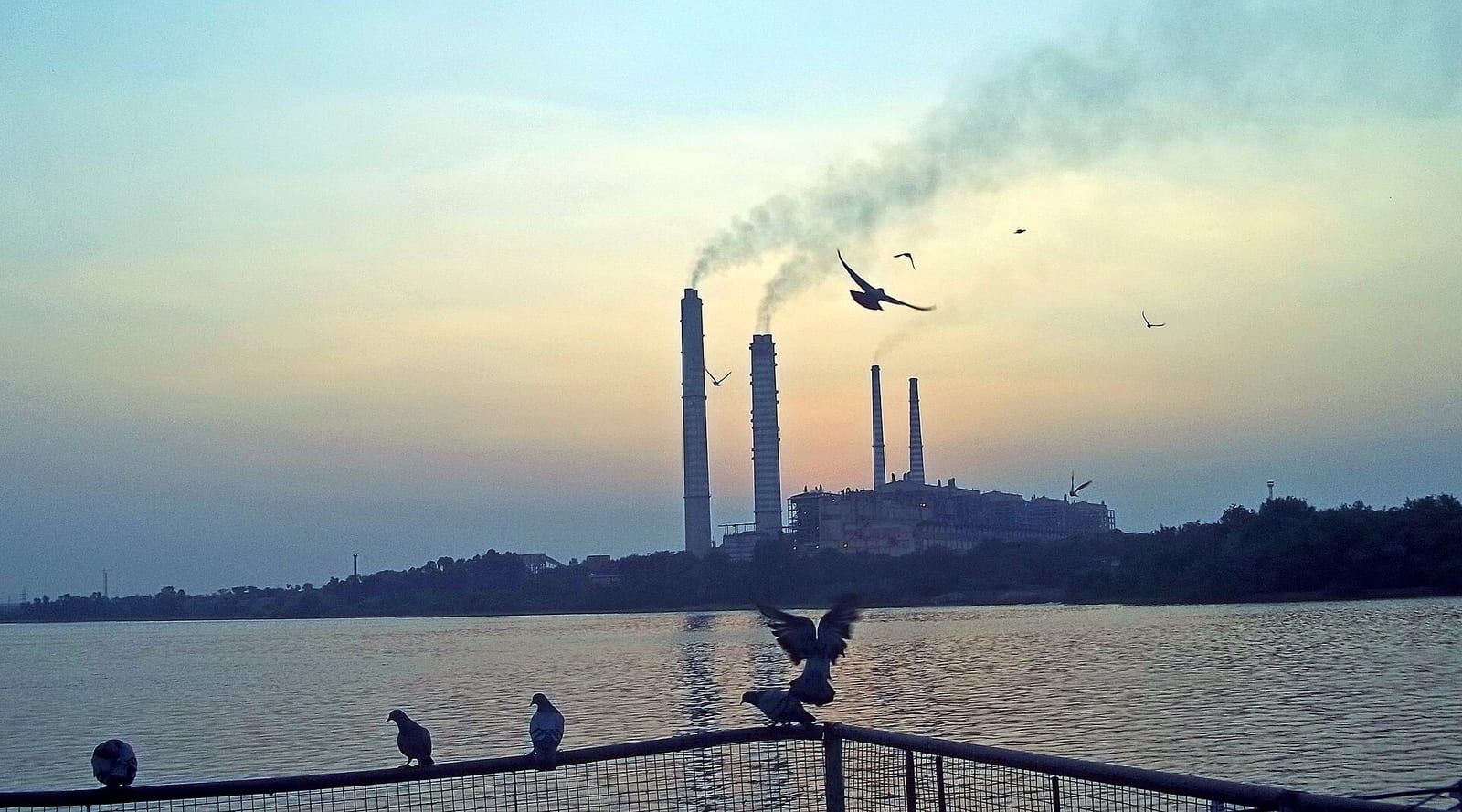
The city of Dholpur is situated on the north bank of the Chambal River at 26° 42′ 0″ N, 77° 54′ 0″ E, directly opposite the state border with Madhya Pradesh and the town of Morena. It lies on the historic National Highway 3 and serves as a railway junction on the North Central Railway line. The municipal area of Dholpur covers roughly 33.3 square kilometres (12.9 sq mi).
Dholpur experiences an extreme climate, with summer temperatures regularly exceeding 40 °C. The hottest period occurs in May and June, and the district is noted for recording India’s highest temperature of 50 °C on 3 June 2017. In contrast, winter months of December and January can see temperatures drop to near‑zero, with the lowest recorded temperature of –4.3 °C on 29 January 2017.
The region receives an average annual rainfall of about 860 mm, contributing to its overall climatic profile of hot, oppressive summers and relatively cool winters.
People and languages
The district’s population is overwhelmingly Hindi‑speaking, with 97.91% of residents reporting Hindi as their first language in the 2011 Census. A small minority, 1.58%, identified Braj Bhasha as their mother tongue, reflecting the linguistic influence of the neighboring Braj region. Local usage also includes Rajasthani, which is spoken alongside Hindi and Braj Bhasha in everyday communication.
Religious composition is characterised by the presence of Hindu and Jain communities, which together form the principal faith groups in Dholpur. These communities coexist within the district’s urban and rural areas, contributing to its cultural fabric.
The district’s overall literacy rate stands at 70.14%, with an effective literacy of 76.56% reported for the municipal area. Male literacy is higher at 84.22% compared with female literacy at 67.74%, indicating a gender gap in educational attainment.
Urbanisation remains modest, as only about one‑fifth (20.51%) of the district’s 1,206,516 inhabitants live in urban settings. The municipal population of Dholpur itself was recorded at 126,142 in 2011 and grew to 246,489 by the 2021 census, reflecting steady urban growth.
Social composition includes Scheduled Castes and Scheduled Tribes, which together account for roughly a quarter of the district’s population—20.36% and 4.86% respectively. The sex ratio is skewed, with 845 females per 1,000 males district‑wide and 862 females per 1,000 males within the municipality.
Based on: the Wikipedia article (CC BY-SA 4.0) — facts from that source; edited and translated by Times of Rajasthan.
More visual stories
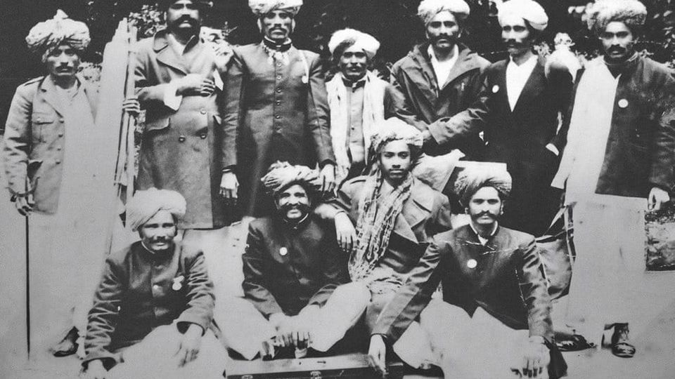 Folk musicKesariya Balam — the songs of the ManganiyarsMaand singing from the Thar, the hum of the kamaicha and the clack of the khartal.5 scenes · with music · ♥ 11
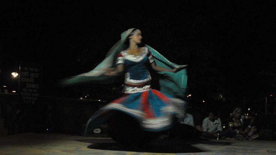 Folk danceGhoomar — the dance of the swirling skirtSwirling ghagras, flowing veils and clapping rhythms at Gangaur, Teej and weddings.3 scenes · with music · ♥ 13
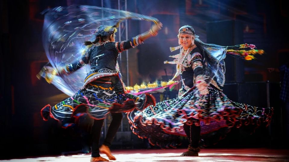 Folk danceKalbeliya — the serpent dance, a UNESCO heritageBodies sway like serpents to the pungi; on UNESCO’s intangible heritage list since 2010.4 scenes · with music · ♥ 1
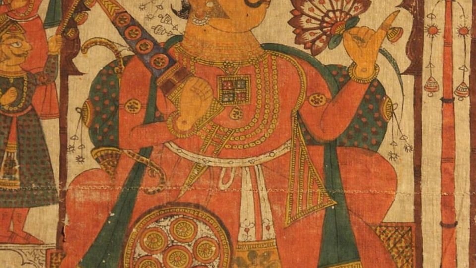 PaintingPhad and Ravanahatha — a story that travelsThrough the night, the bhopa and bhopi sing the epic of folk deities before the phad, to the ravanahatha.4 scenes · with music · ♥ 5
Photos: Sharvarism / Wikimedia Commons (CC BY-SA 4.0) · Piyush Tripathi / Wikimedia Commons (CC BY-SA 4.0) · FLASHPACKER TRAVELGUIDE / Wikimedia Commons (CC BY-SA 2.0)