Dausa Darshan — Chand Baori, Abhaneri, Mehandipur Balaji
Dausa district in Rajasthan is a cultural tapestry where history, art and spirituality intertwine.
TIMES of RAJASTHAN · DARSHAN
Dausa Darshan — Chand Baori, Abhaneri, Mehandipur Balaji
Dausa district in Rajasthan is a cultural tapestry where history, art and spirituality intertwine.
In detail
Dausa district is a district in Rajasthan, India, with its headquarters in the city of Dausa. It covers 3,432 km² and had a population of 1,634,409 in the 2011 census.
Overview
Dausa district is located in the Indian state of Rajasthan and forms part of the Jaipur division, one of the ten administrative divisions of the state. The district headquarters is the city of Dausa, which lends its name to the district. Other significant urban centres within the district include Bandikui, Lalsot, and Mahuwa.
The district is bordered by Alwar district to the north, Bharatpur to the east, Gangapur to the south‑east, Sawai Madhopur to the south, and Jaipur Rural to the west. It covers an area of 3,432 square kilometres (1,325 square miles) and, according to the 2011 census, has a population of 1,634,409.
The name "Dausa" is derived from the Sanskrit word Dhau‑Sa, meaning "Beautiful like Heaven." The city of Dausa itself lies 55 kilometres from Jaipur, 240 kilometres from Delhi, and is situated on the Jaipur‑Agra National Highway (NH‑21).
History
Dausa is situated in a region known as Dhundhar and served as its first capital. In the 10th century CE it was ruled by the Chauhans and Badgurjars. In the 11th century CE Dulha Rai won it from the Badgurjars and continued to rule until 1036 CE, after which he changed his capital from Dausa to Khoh.
During the reign of Akbar, who visited Ajmer as a pilgrim to Khwaja Moinuddin Chisti in 1562 CE, he stayed in Dausa and met with Rupsi Bairagi, the Hakim of Dausa at the time and brother of the then ruler of Amber, Raja Bharmal.
The district of Dausa was constituted on 10 April 1991 by separating four tehsils—Dausa, Baswa, Sikrai, and Lalsot—from Jaipur district. Mahwa Tehsil of Sawai Madhopur was added to the district on 15 August 1992.
Prior to Indian independence in 1947, Dausa was part of the princely state of Jaipur ruled by the Kachhwaha Rajput dynasty. It was originally governed by the Chauhan Rajputs in the 10th century CE, with control passing to Kachhwaha Raja Sodh Dev (r. 996‑1006 CE) and then to his son, Raja Dulha Rai, who ruled Dhundhar from Dausa for three decades before moving to Khoh in 1028 CE.
Dausa has produced prominent freedom fighters such as Tikaram Paliwal and Ram Karan Joshi, who contributed to the fight for independence and the formation of the state of Rajasthan. Tikaram Paliwal was elected Chief Minister of Rajasthan in 1952, while Ram Karan Joshi was the first Panchayati Raj Minister of Rajasthan and submitted the first Panchayati Raj Bill in the Vidhansabha in 1952.
The poet Sunderdas was born on Chaitra Shukla Navami in Vikram Samvat 1653 in Dausa. He was a renowned Nirgun Panthi Sant and wrote 42 Grantha, among which Gyan Sundaram and Sunder Vilas are famous.
Geography and climate
The district of Dausa lies between 22°33' and 27°33' north latitudes and 76°50' and 76°90' east longitudes, placing it in the eastern part of Rajasthan within the Jaipur division. Covering an area of 3,432 km², it ranks thirty‑second among the districts of the state. Its boundaries are shared with Alwar to the north, Bharatpur to the east, Gangapur to the south‑east, Sawai Madhopur to the south, and Jaipur Rural to the west.
Two rivers, the Banganga and Morel, flow through the district, but none of them are perennial. Dausa falls within three river basins: the Banganga River Basin in the north, the Banas River Basin in the south, and the Gambhir River Basin in the lower eastern part. The district’s topography varies from a low of 203.2 metres above sea level in Mahwa, in the northeastern corner, to a high of 596.3 metres in Bandikui, in the northern part. The general elevation across the district ranges between 250 and 300 metres.
The climate is predominantly dry, except during the rainy season. The annual normal rainfall recorded for the district is 561 millimetres. The town of Dausa itself is situated at 26.88°N 76.33°E and has an average elevation of 333 metres (1,072 feet).
People and languages
Dausa district, according to the 2011 census, had a population of 1,634,409, with a density of 476 persons per square kilometre. The population growth rate over the decade 2001-2011 was 24.31%. The sex ratio stood at 905 females for every 1,000 males, and the overall literacy rate was 68.16%, with male literacy at 82.98% and female literacy at 51.93%. About 12.35% of the district’s residents lived in urban areas, while Scheduled Castes and Scheduled Tribes comprised 21.68% and 26.51% of the population respectively.
In terms of religion, Hindus formed the majority group, accounting for 96.81% of the district’s population, followed by Muslims at 2.78%. The town of Dausa itself showed a slightly different religious composition: Hindus 84.99%, Muslims 14.11%, Jains 0.66%, Christians 0.16% and Sikhs 0.15%.
Language use in the district is dominated by Hindi, spoken by 86.77% of residents as their first language. Dhundari and Rajasthani were spoken by 6.64% and 6.40% of the population respectively. The local dialect of the region is Dhundari.
The town of Dausa had a population of 85,960, with males numbering 45,369 and females 40,591. Its average literacy rate was 69.17%, slightly below the national average, with male literacy at 84.54% and female literacy at 52.33%. Children under six years old numbered 11,042 in the town.
Culture, fairs and places to see
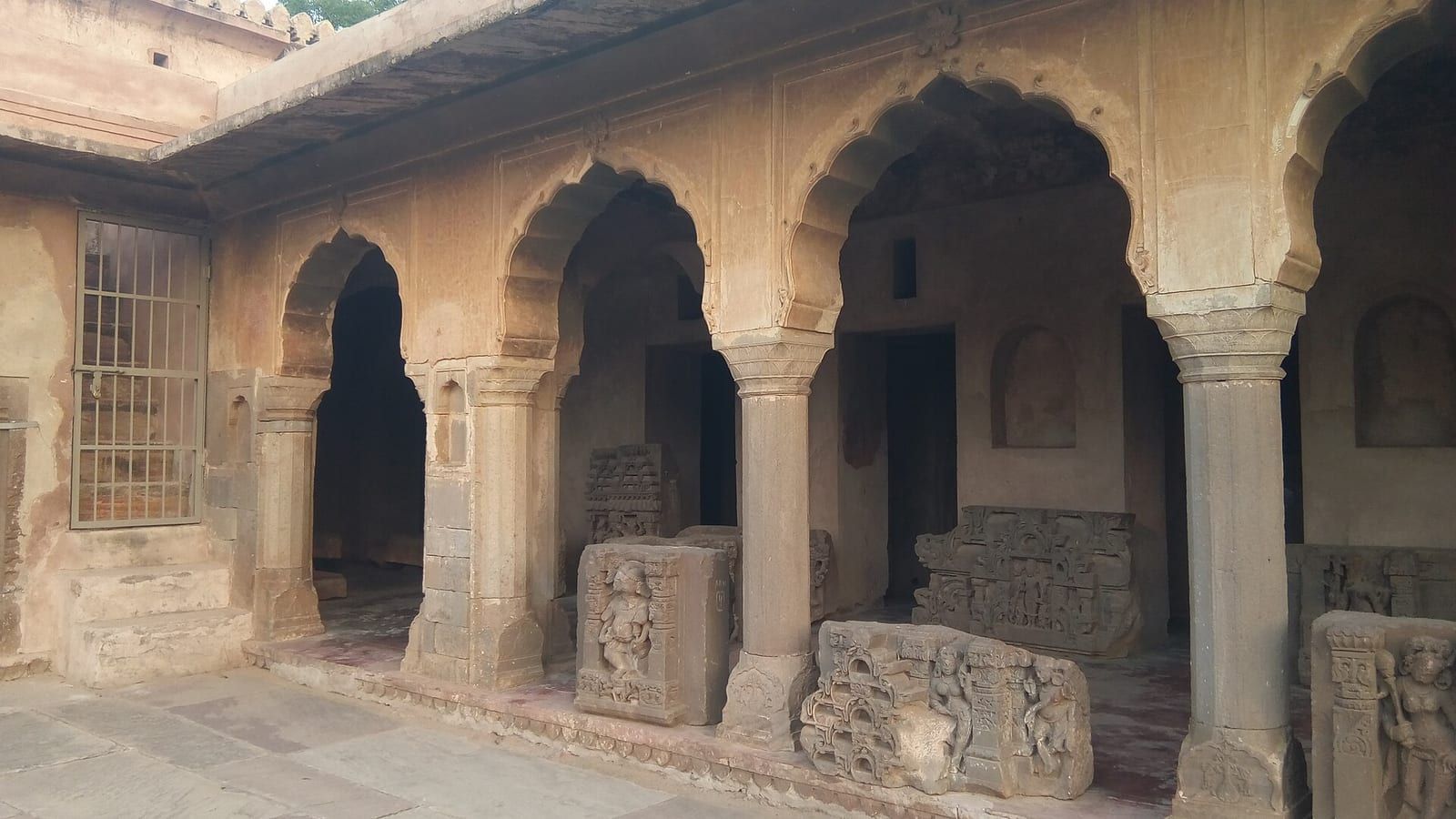
The Dausa district offers several notable sites for visitors, reflecting its historical and religious heritage. About 33 km from the district centre, the village of Abhaneri showcases post‑Gupta or early medieval monuments, most prominently the Chand Baori step‑well and the Harshat Mata Temple, both regarded as important attractions in the area.
Further north, the town of Bhandarej is recognised for its archaeological remains, including walls, sculptures, decorative latticework and terracotta utensils uncovered during excavations. In addition, Bhandarej features an 18th‑century step‑well known as Bhandrej Baori, adding to its cultural landscape.
Approximately 25 km from Dausa, Khawaraoji served historically as the residence of the ruler Raoji and the Jaiman purohits, offering a glimpse into the region’s former princely life.
The village of Jhajhirampura is noted for its natural water tank and a collection of temples dedicated to deities such as Rudra (Shiv), Balaji (Hanuman), Bhairav Nath, and Devnarayan Chouhan, reflecting the local religious practices.
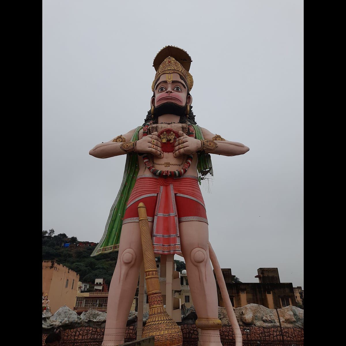
Among the district’s prominent religious sites, the Mehandipur Balaji Temple is dedicated to the deity Bajrang Bali (Hanuman) and is reputed for its role in treating mentally disturbed individuals. In the Lalsot sub‑district, the Paplaj Mata Temple and the Shri Binori Balaji Mandir provide additional focal points for worship and pilgrimage.
Based on: the Wikipedia article (CC BY-SA 4.0) — facts from that source; edited and translated by Times of Rajasthan.
More visual stories
 Folk musicKesariya Balam — the songs of the ManganiyarsMaand singing from the Thar, the hum of the kamaicha and the clack of the khartal.5 scenes · with music · ♥ 11
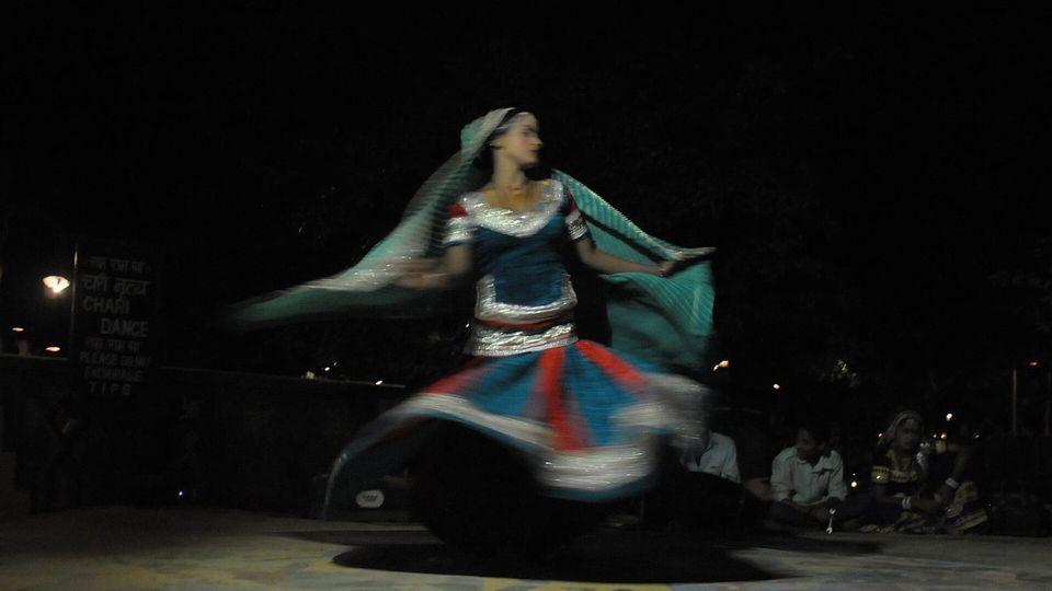 Folk danceGhoomar — the dance of the swirling skirtSwirling ghagras, flowing veils and clapping rhythms at Gangaur, Teej and weddings.3 scenes · with music · ♥ 13
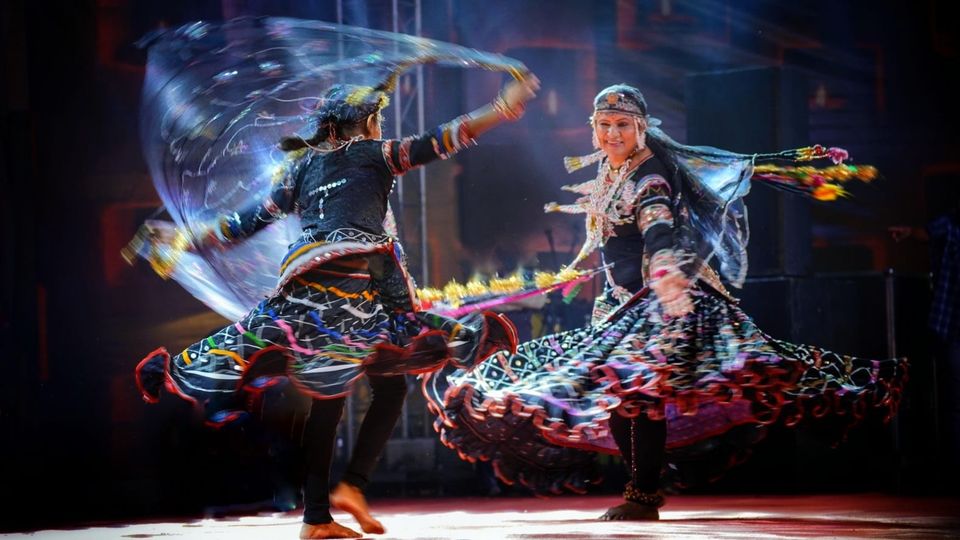 Folk danceKalbeliya — the serpent dance, a UNESCO heritageBodies sway like serpents to the pungi; on UNESCO’s intangible heritage list since 2010.4 scenes · with music · ♥ 1
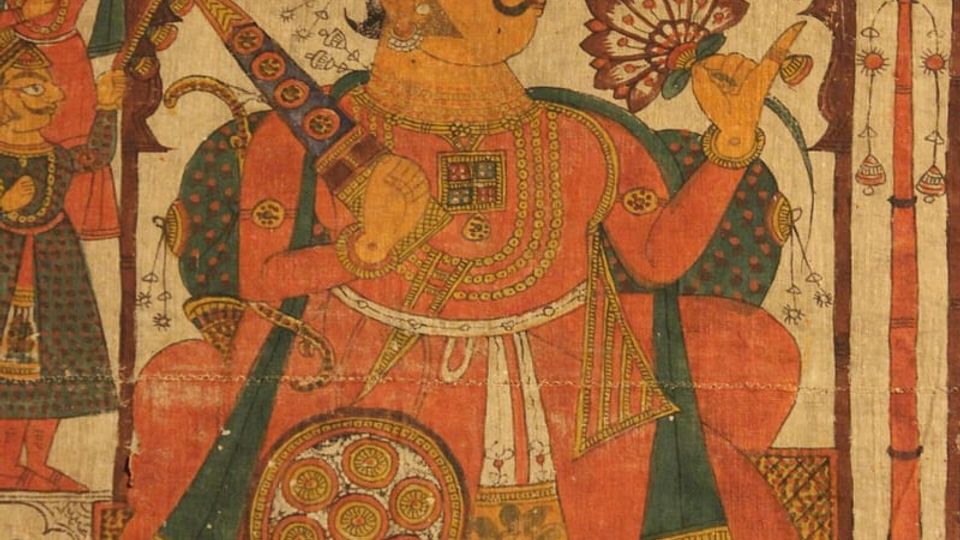 PaintingPhad and Ravanahatha — a story that travelsThrough the night, the bhopa and bhopi sing the epic of folk deities before the phad, to the ravanahatha.4 scenes · with music · ♥ 5
Photos: Pkbandriod / Wikimedia Commons (CC BY-SA 4.0) · KUMAR2912 / Wikimedia Commons (CC BY-SA 4.0)