Banswara Darshan — City of a hundred islands, Mahi Dam
Banswara district in Rajasthan offers a calm blend of rivers, hills and vibrant culture.

TIMES of RAJASTHAN · DARSHAN
Banswara Darshan — City of a hundred islands, Mahi Dam
Banswara district in Rajasthan offers a calm blend of rivers, hills and vibrant culture.
In detail
Banswara district is the southernmost district of Rajasthan, covering 5,037 km² with its headquarters in the city of Banswala. It is a predominantly tribal region with a population of about 1.8 million as of the 2011 census.
Overview
Banswara district covers an area of 5,037 km², which accounts for 1.47% of the total area of Rajasthan. The district’s headquarters is the city of Banswara, which lies in the southernmost part of the state. It is bounded to the north by Udaipur District, to the northeast by Pratapgarh District, to the east and southeast by the state of Madhya Pradesh, to the southwest by the state of Gujarat, and to the west by Dungarpur District.
The city of Banswara derives its name from the king Bansiya Bhil. It is popularly known as the “City of a Hundred Islands” and the “Green City.” The moniker “Cherrapunji of Rajasthan” is used because it receives the highest rainfall in the state. The Mahi River, also called Mahati in the Vayu Purana, flows through the city and is noted for its numerous islands.
According to the latest figures, Banswara city has a population of 101,017, comprising 51,585 males and 49,432 females. The district’s demographic and geographic characteristics make it a distinctive region within Rajasthan, combining dense rainfall, riverine islands, and a strategic location at the convergence of three states.
History
Banswara district takes its name from the former Princely State of Banswara. Two traditions explain the etymology: one says it derives from the Bhil chief Bansia who ruled the area before being defeated by Maharaval Jagmal Singh in 1529 CE, while the other attributes the name to Bans Vara, meaning the country of bamboos, reflecting the abundance of bamboo in the dense forests.
The district was a Rajput feudatory state in Rajputana during British India, bordering Gujarat and surrounded by the princely states of Dungarpur, Udaipur, Partapgarh, Holkar, Jabua and Rewa Kantha. It measured about 45 miles from north to south and 33 miles from east to west, covering an area of 1,606 square miles. In 1941 the population was 258,760.
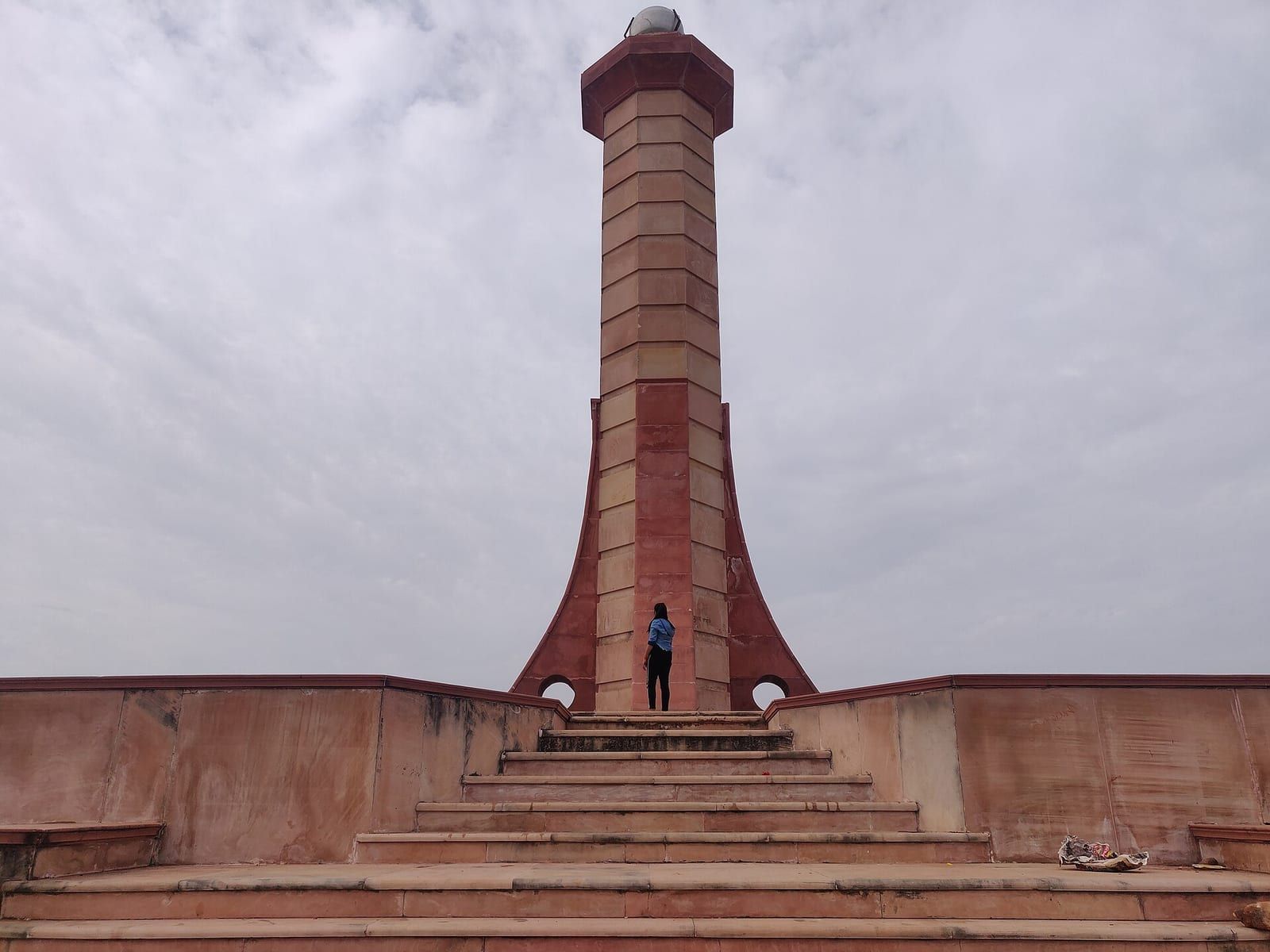
In November 1913 the Mangarh hills in western Banswara witnessed a massacre that ended the Bhil Revolt. British forces opened fire on a gathering of tribals led by Govind Guru Banjara, killing an estimated 1,500 to 2,500 people. The event, echoing the Jallianwala Bagh massacre, led to the exile of Govind Guru, who was later imprisoned in Hyderabad and released in 1919.
Govind Guru had inspired a Bhagat movement among the Bhils, encouraging vegetarianism and abstention from intoxicants, which gradually evolved into a political struggle against British taxes and forced labour. The massacre site, now known as Mangarh Dham, has a monument and was declared a national monument in November 2022.
Geography and climate
Banswara district lies in the southernmost part of Rajasthan, surrounded by Pratapgarh to the north, Dungarpur to the west, Ratlam and Jhabua districts of Madhya Pradesh to the east and south, and Dahod district of Gujarat to the south. The district is part of the Vagad region, which includes Banswara and Dungarpur, and is mainly inhabited by tribal Bhils who speak the local Vagri language.
Geographically, Banswara sits at 23.55°N 74.45°E with an average elevation of 302 metres. The terrain is rugged with short ridges west of the town and flat‑topped Deccan hills to the east, while the southern end of the Aravali mountains also borders the area. The Mahi River basin dominates the district’s drainage system; the river originates in the Vindhya Range of Madhya Pradesh, enters Banswara from the southeast, flows northward, and then turns southwest to form the boundary with Dungarpur before entering Gujarat. Its main tributaries are the Anas, Chanp, Erav, Hiran, and Kagdi.
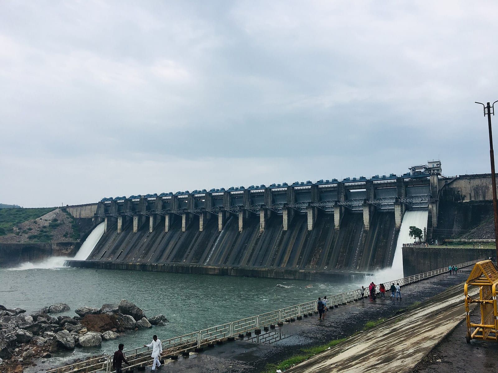
The district’s climate is classified as tropical savanna (Köppen Aw). Temperatures range from a maximum of 27 to 41 °C to a minimum of 13 to 27 °C. Normal annual rainfall is about 922.4 mm, with an average annual rainfall of 82.59 cm recorded in some parts of the district. The Mahi Bajaj Sagar Dam, located approximately 16 km from Banswara town, provides irrigation through its canals, which irrigate 60,149 hectares of land.
Banswara’s flora is rich, with forests dominated by teak. The wildlife includes leopards, chinkara, and a variety of birds such as fowl, partridge, black drongo, grey shrike, green bee‑eater, bulbul, and parrot. About 20 % of the area is designated as forested land, although much of this forest is bare during non‑monsoon months. The district also hosts mineral resources including graphite, soapstone, dolomite, rock phosphate, limestone, and various marbles, with some gold deposits near Jagpura.
Agriculture in Banswara focuses on crops such as maize, wheat, rice, cotton, soybean, and gram, supported by the irrigation network fed by the Mahi River and its tributaries. The district’s location and climate make it less extreme than the desert regions further north and northwest of Rajasthan, providing a relatively moderate environment for its diverse ecosystems and agricultural activities.
People and languages
Banswara district, according to the 2011 census, has a population of 1,797,485, which is roughly equivalent to the nation of The Gambia or the US state of Nebraska. The district ranks 267th in India out of 640 districts and has a population density of 399 inhabitants per square kilometre. Over the decade from 2001 to 2011, the population grew by 26.58 percent.
The sex ratio in Banswara is 979 females for every 1,000 males, and the overall literacy rate stands at 57.2 percent. Only 7.10 percent of the population lives in urban areas. Scheduled Castes and Tribes constitute 4.46 percent and 76.38 percent of the population, respectively.
In terms of language, the 2011 census records that 91.58 percent of the district’s residents speak Wagdi (Bhili), while 4.32 percent speak Hindi. These figures reflect the linguistic composition of the district’s population.
Banswara city, as recorded in the 2001 census, had a population of 101,177. Males made up 51 percent of this figure, with females comprising 49 percent. The city’s average literacy rate was 86.98 percent, higher than the national average of 59.5 percent, with male literacy at 92.76 percent and female literacy at 81.01 percent.
Administration
Banswara district is administratively divided into eight sub‑divisions. Each sub‑division contains one or more tehsils and is further broken down into development blocks. The sub‑divisions and their respective tehsils are: Banswara, which includes Banswara and Abapura; Garhi, comprising Garhi and Arthuna; Ghatol, which contains Ghatol tehsil; Kushalgarh, which includes Kushalgarh and Sajjangarh; Bagidora, consisting of Bagidora and Gangtalai; Anandpuri, which contains Anandpuri; and Chotisarvan, which contains Chotisarvan tehsil.
The district has a total of 12 tehsils and 11 development blocks. The development blocks are Talwara, Garhi, Ghatol, Arthuna, Banswara, Bagidora, Anandpuri, Chhoti Sarvan, Gangadtalai, Kushalgarh, and Sajjangarh.
In terms of legislative representation, Banswara district is divided into five Vidhan Sabha constituencies: Kushalgarh, Garhi, Ghatol, Banswara, and Bagidora. These constituencies, together with three Vidhan Sabha constituencies from the neighboring Dungarpur district, form the single Lok Sabha constituency of Banswara.
The civic administration of the district is headed by the Banswara Municipal Council (Nagar Parishad), which was upgraded from a Municipal Board. The council is responsible for local governance and municipal services within the district's urban areas.
Culture, fairs and places to see
Banswara district, situated in the Aravali valley, is a stronghold of tribal culture in Rajasthan. The landscape is dominated by bamboo trees, which gives the region its name, Banswara. The town of Banswara was founded by King Bansiya Bhil and is known for its eleven and a half Swayambhoo Shivalingas. It has also been called Lodhikashi, meaning little Kashi, and at times referred to as an area of hundred islands. The district borders Gujarat and Madhya Pradesh, and this inter‑regional proximity has fostered a Vagdi culture that blends Gujarati, Malwi, Rajasthani and Mewari traditions. The area is rich in forests, hills and wildlife, and the native tribal communities are integral to its identity.
Among the notable religious sites is the Anekant Bahubali Temple located on Banswara‑Udaipur Road in Lohariya Tehsil. The temple houses a 27‑foot standing statue of Lord Bahubali made of white Sangmarar marble. It was established under the inspiration of Digamber Acharya Shri 108 Bharat Sagarji Maharaj and contains several other Jain shrines, including the Panch Parmeshti Jinalaya, the Manvadi Sapt Charan Rishi's temple, and the Adinatha Jinalaya, all situated within the temple campus.
The Madareshwar Temple, a Hindu shrine dedicated to Lord Shiva, is another significant landmark. It is located inside a natural cave on a high hill in the eastern part of the city. The cave setting provides pilgrims with an experience reminiscent of the Amarnath Yatra, owing to its secluded and sacred atmosphere.
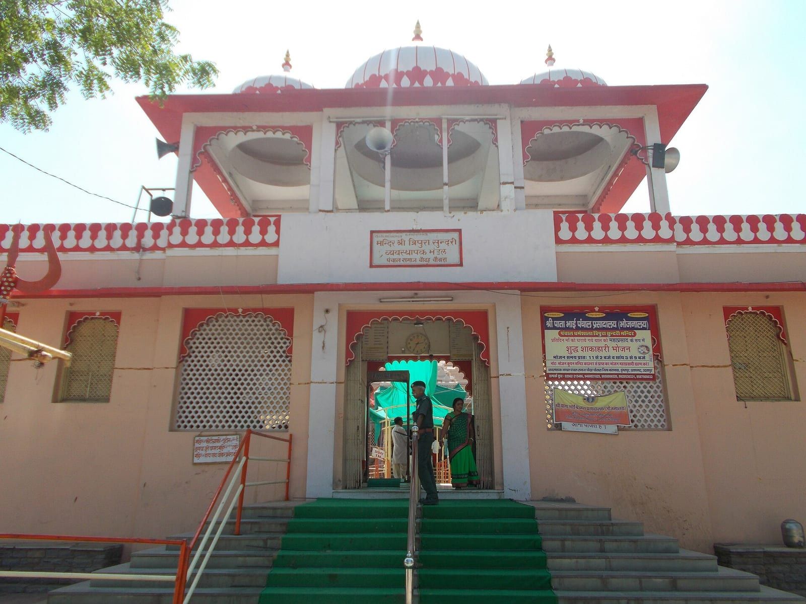
The Sai Temple, established in 2004, is the most visited place in Banswara. Dedicated to Sai Baba, the temple features a large white‑stone idol of Sai Baba and a separate idol of Ganesh. Inside the temple, a unique stone rangoli adorns the floor, and a large jhumar light illuminates the roof. A spacious open area in front of the temple accommodates visitors and devotees.
Education and transport
Education in Banswara is managed by the Directorate of Education, the government, or private organizations. In the academic year 2008–09, the district had 1,995 primary and middle schools and 283 secondary and senior secondary schools. Higher education institutions included two government postgraduate colleges and eight private colleges. For technical education, there was one government polytechnic, one government engineering college, and two industrial training institutes.
Private schools in Banswara use either English or Hindi as the medium of instruction and are affiliated with either the Rajasthan Board of Secondary Education or the Central Board for Secondary Education.
Since 2012, a government engineering college has been operating in the district. In the 2013–14 state budget, a medical college was announced, and it began operation in 2024.
Based on: the Wikipedia article (CC BY-SA 4.0) — facts from that source; edited and translated by Times of Rajasthan.
More visual stories
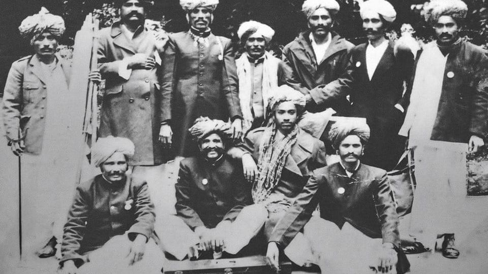 Folk musicKesariya Balam — the songs of the ManganiyarsMaand singing from the Thar, the hum of the kamaicha and the clack of the khartal.5 scenes · with music · ♥ 11
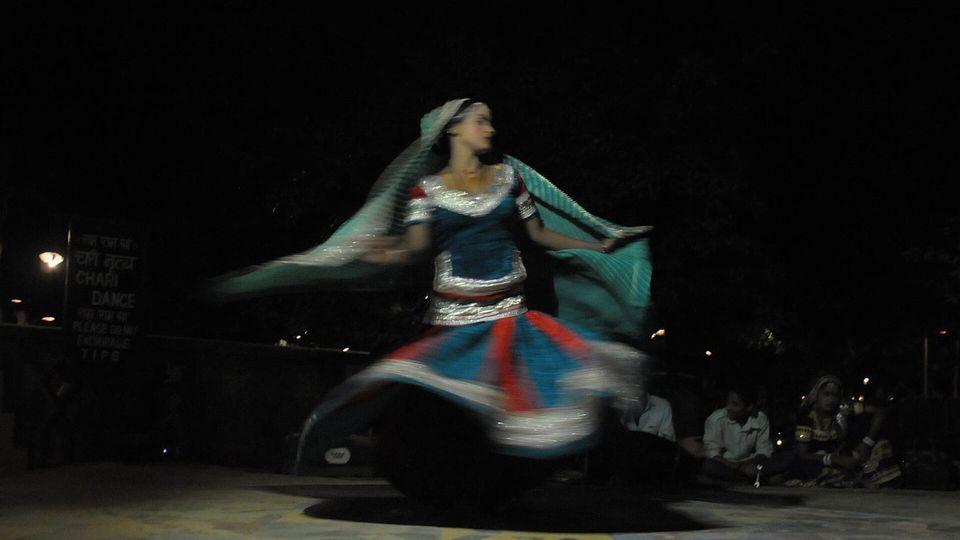 Folk danceGhoomar — the dance of the swirling skirtSwirling ghagras, flowing veils and clapping rhythms at Gangaur, Teej and weddings.3 scenes · with music · ♥ 13
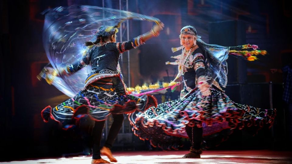 Folk danceKalbeliya — the serpent dance, a UNESCO heritageBodies sway like serpents to the pungi; on UNESCO’s intangible heritage list since 2010.4 scenes · with music · ♥ 1
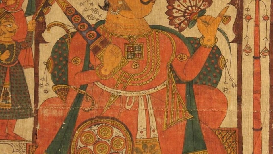 PaintingPhad and Ravanahatha — a story that travelsThrough the night, the bhopa and bhopi sing the epic of folk deities before the phad, to the ravanahatha.4 scenes · with music · ♥ 5
Photos: Yugal Joshi / Wikimedia Commons (CC BY-SA 4.0) · Ibrahim Bohra / Wikimedia Commons (CC BY-SA 4.0) · Vedpriyaa / Wikimedia Commons (CC BY-SA 4.0)