Alwar Darshan — Sariska Tiger Reserve, Bala Quila
Alwar district in Rajasthan blends rich culture with striking natural scenery.
TIMES of RAJASTHAN · DARSHAN
Alwar Darshan — Sariska Tiger Reserve, Bala Quila
Alwar district in Rajasthan blends rich culture with striking natural scenery.
In detail
Alwar district in Rajasthan covers 8,337 km² and had a population of 3,674,179 in 2011. It hosts industrial estates, extensive agriculture and several historic sites such as Alwar Fort and Bhangarh Fort.
Overview
Alwar district is situated in the northern part of the Indian state of Rajasthan, with its administrative headquarters in Alwar city. The district spans an area of 8,337 square kilometres and shares its borders with Khairthal Tijara and Kot Behror districts to the north, Bharatpur district of Rajasthan and Nuh district of Haryana to the east, Dausa district to the south, and Jaipur district to the west.
According to the 2011 census, Alwar ranks as the third most populous district in Rajasthan out of the state’s thirty‑three districts, following Jaipur and Jodhpur. This demographic standing underscores its significance within the state’s overall population distribution.
Alwar city, the district’s headquarters, is positioned roughly 150 kilometres south of the national capital, Delhi, and an equal distance north of Jaipur, the state capital. Its central location between these major urban centres highlights its strategic importance in the region.
The district’s geographic setting, bordering both Rajasthan and Haryana, along with its sizable population, contributes to its role as a key administrative and cultural hub within the state of Rajasthan.
History
Alwar’s earliest known name was Salva or Salwa, and it formed part of the ancient Matsya Kingdom, one of the sixteen Mahājanapadas recorded in Vedic literature. Late Vedic texts such as the Jaiminiya Brahmana describe the Salva or Salvi tribe as a non‑Vedic group that occupied Kurukshetra and at one point conquered the Kuru kingdom. The Matsya realm is generally identified with present‑day Rajasthan, including the area that later became Alwar, situating the district within the broader cultural and political landscape of north‑western India during the Vedic period.
During the medieval era Alwar changed hands among several Rajput lineages and other powers. Notable dynasties that ruled the region included the Karaulika Yadav Nikumbh Rajputs, the Khanzada Rajputs, the Badgujar Rajputs, the Gaur Rajputs and the Rai Sahab of Rewari. The Maratha Empire also exercised brief control over the area. The Rai Raja of Rewari captured the Alwar Fort from the Rajput Narukas, establishing the foundation for the modern city of Alwar.
Wali‑e‑Mewat Raja Khanzada Alawal Khan Bahadur, son of Khanzada Zakaria Khan Mewati, governed Mewat from 1485 to 1504. He succeeded his father and was followed by his son Hasan Khan Mewati in 1504. In 1492 Alawal Khan seized Bala Quila from the Nikumbh Rajputs, an act recorded as ending the practice of human sacrifice, and local tradition holds that the city of Alwar derives its name from him.
The district also produced a notable figure of the 16th‑century power struggles, Hemchandra Vikramaditya, known as Hemu, who was born in the village of Machari, Rajgarh, within Alwar. Hemu rose to become a Hindu emperor of North India, capturing Delhi on 7 October 1556 after defeating Mughal forces at Tughlaqabad and winning a series of twenty‑two battles. His brief reign ended with his defeat at the Second Battle of Panipat later that year, after which he was executed and Mughal authority was restored.
Later, in 1781, the Battle of Mandan was fought in the region between the Rais of Rewari under Mitrasen and forces led by Sardar Shardul, who were supported by the Mughals. The engagement resulted in heavy casualties on both sides, reflecting the continued strategic importance of Alwar in the shifting alliances of the period.
Geography and climate
Alwar district lies at 27.57°N 76.6°E and rests at an average elevation of 271 m (889 ft) above sea level. The Ruparail River is a major watercourse that flows near the city, and the region is noted for a variety of mineral resources, including marble, granite, feldspar, dolomite, quartz, limestone, soap stone, barites, copper clay, copper ore and pyrophylite.
The climate of Alwar is classified as hot semi‑arid (Köppen BSh). Summers are long and sweltering, with average maximum temperatures around 41 °C (106 °F) and average minimums near 28 °C (82 °F). Winters are short but warm to very warm, with temperatures typically ranging from 21 °C (70 °F) down to 8 °C (46 °F). The area experiences a brief monsoon season, concentrating most of its annual rainfall—about 67 cm (26 in)—in July and August.
Historical temperature extremes recorded in Alwar include a high of 50.6 °C (123.1 °F) on 10 May 1956 and a low of –0.8 °C (30.6 °F) on 12 January 1967. Until 2016, Alwar held the national record for the highest temperature in India, a distinction later surpassed by Phalodi in Jodhpur district.
People and languages
The Alwar district is linguistically diverse, with Mewati, Rajasthani and Rathi identified as the main languages of the region. Within the district, Mewati and Braj are spoken in the eastern part, Ahirwati in the north and west, and a combination of Mewati and Jaipuri (a form of Rajasthani) in the south and southwest.
According to the 2011 census, Hindi is the predominant first language, spoken by 85.51% of the population in the residual district. Mewati follows as the second most common language at 8.30%, while Punjabi accounts for 2.26% and Braj for 1.16% of first-language speakers.
The district’s demographic profile shows a population of 3,674,179, with a literacy rate of 71.68% and a sex ratio of 894 females per 1,000 males. Urban residents constitute 17.81% of the total, and Scheduled Castes and Scheduled Tribes represent 17.77% and 7.87% respectively.
Economy and agriculture
Alwar district’s economy blends a modest industrial base with a substantial agricultural sector. The district hosts several industrial estates, notably the Alwar MIA (Matasya Industrial Area), where major firms such as Ashok Leyland, Pepsi, Havells, Diageo, Adani Wilmar and Kajaria Ceramics operate manufacturing plants, contributing to local employment and industrial output.
Agriculture remains a cornerstone of Alwar’s economy, accounting for a large share of land use. The district covers 838,000 hectares, roughly 2.5 percent of Rajasthan’s total area, and in 2010–11 the net cultivated area was 507,171 hectares. Of this, about 83 percent (451,546 hectares) is irrigated while the remaining 17 percent (82,903 hectares) relies on rain. Double‑cropping is practiced on nearly 252,000 hectares, predominantly on unirrigated land.
The total cropped area reaches 812,873 hectares. In the Kharif season, crops such as bajra, maize, jowar, kharif pulses, arhar, sesamum, cotton and guar are sown on roughly 329,088 hectares (42 percent). The Rabi season sees wheat, barley, gram, mustard, taramira and rabi pulses cultivated on about 452,527 hectares (58 percent). Irrigation depends mainly on wells and tube wells, with 57,196 wells serving 265,169 hectares and 26,064 tube wells covering 192,861 hectares; canals and tanks irrigate a modest 404 hectares, while electric motors and diesel pump sets are widely used.
Rainfall patterns heavily influence agricultural productivity. The district’s normal annual rainfall is 657.3 mm, with a ten‑year average of 724 mm, though distribution is uneven, leading to occasional floods and droughts that affect both Kharif and Rabi cropping cycles. In 2016, rainfall up to September was markedly lower at 217 mm, underscoring the vulnerability of agriculture to climatic variability.
Culture, fairs and places to see
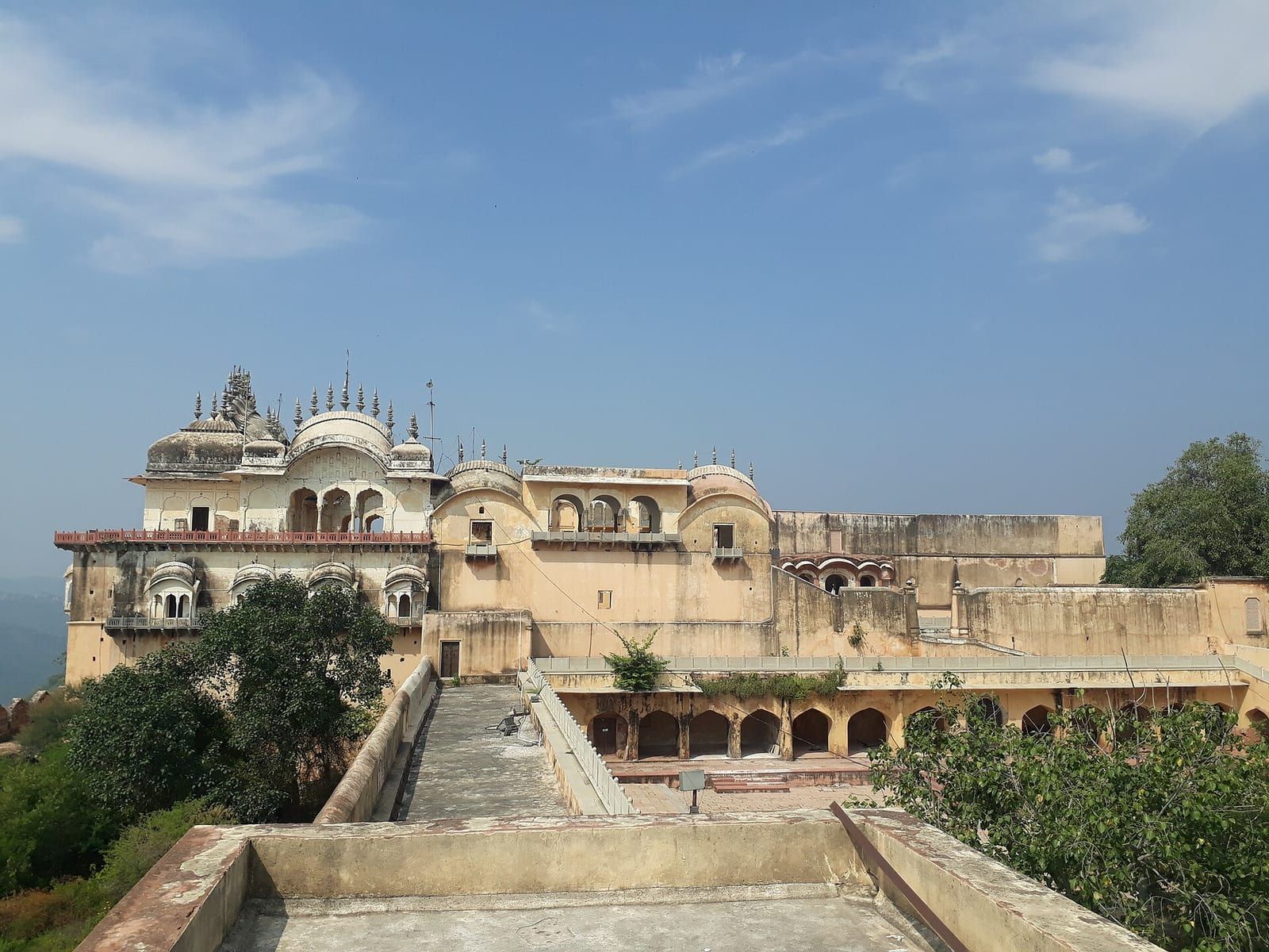
Bala Qilla, also known as Alwar Fort, rises in the Aravalli Hills and is reputed to have never been invaded or conquered by any king. Behind the fort lies the Nikumbh Mahal, and the city surrounding the fort contains several small palaces and an old museum that houses a collection of paintings, armour and old weapons.
The district is home to several historic forts that attract tourists. Bhangarh Fort, a 17th‑century structure built by Bhagwant Das for his son Madho Singh I, is protected by the Archaeological Survey of India and is famous for legends of paranormal activity; a board at the gate prohibits visitors from staying inside after sunset. Nearby, the 14th‑century Hill Fort Kesroli has been conserved as a heritage hotel, while the 300‑year‑old Royal Rao Haveli in Nizam Nagar, Laxmangarh, stands 25 km from Kesroli fort. Neemrana, an important heritage fort on NH‑48 near Behror, also draws attention.
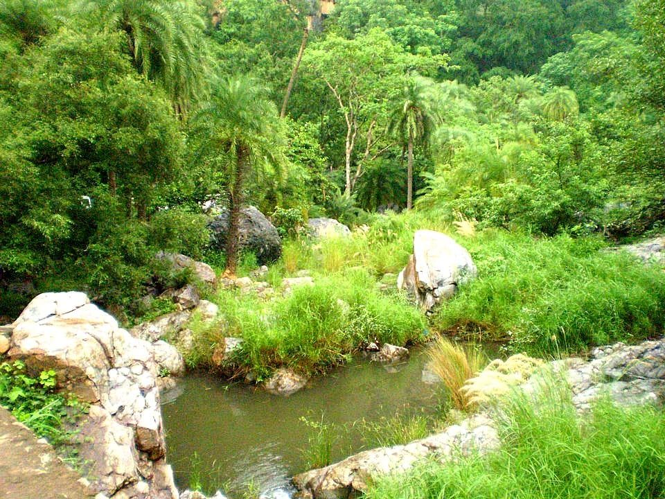
Religious heritage includes the Neelkanth temple, an ancient shrine dedicated to Lord Shiva that dates from the 6th to the 9th century. The district’s natural attractions feature the Sariska Tiger Reserve and the Arvari River, which flow through the region, adding wildlife and scenic value to the area.
A unique cultural artifact linked to tourism is the Fairy Queen, a national treasure and the world’s oldest working locomotive engine dating to around 1855 CE. Operating as a luxury tourist train between Delhi and Alwar, it was listed in the Guinness Book of Records in 1998 as the oldest steam locomotive in regular service and received the National Tourism Award in 1999.
Education and transport
Alwar district is well‑connected by road, rail and air, facilitating both daily commuting and longer journeys. National Highway NH 8, part of the Delhi‑Jaipur‑Ajmer‑Ahmedabad‑Bombay corridor, runs through the district, and the Gurgaon‑Sohna‑Alwar stretch is being widened to six lanes, improving access from New Delhi. The Delhi–Mumbai Expressway also cuts across the district near Barodameo, linking Alwar with Gurugram, Delhi and Jaipur, while a proposed link between the Trans‑Haryana Expressway and the Delhi‑Mumbai Expressway will further enhance connectivity through points such as Paniyala, Kharithal, Alwar, Ramgarh and Barodameo.
Rail transport is anchored by the Delhi‑Jaipur line, which passes through Alwar, with Alwar Junction railway station providing services to Delhi, Jaipur and Mumbai. The historic Fairy Queen locomotive, recognised by the Guinness Book of Records as the world’s oldest working steam engine, operates a tourist luxury train between Delhi and Alwar, sharing the route with the Palace on Wheels and earning a National Tourism Award in 1999.
Medium‑distance travel within the district relies heavily on government‑run and private bus services, taxis and auto‑rickshaws, with the main bus terminal located about five kilometres from Alwar railway junction. Plans are under way for a metro rail link from Delhi to Alwar via Behror. The nearest airports are Indira Gandhi International Airport in Delhi (approximately 143 km away), Jaipur International Airport (about 150 km away) and a developing airport at Bhiwadi (roughly 90 km distant).
Higher education in Alwar has expanded since the establishment of Raj Rishi Bhartrihari Matsya University in 2012‑13. The district hosts a range of schools, including Alwar Public School, Shri Oswal Jain Senior Secondary School, St Anselm’s Senior Secondary School, Kendriya Vidyalaya and several others, as well as colleges such as Raj Rishi College, Siddhi Vinayak College, Presidency College, Government Law College, KCRI College and IET College. The Employee’s State Insurance Corporation (ESIC) Medical College began operations in 2017, adding to the district’s educational infrastructure.
Based on: the Wikipedia article (CC BY-SA 4.0) — facts from that source; edited and translated by Times of Rajasthan.
More visual stories
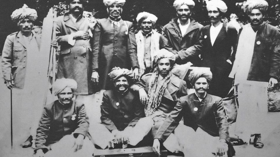 Folk musicKesariya Balam — the songs of the ManganiyarsMaand singing from the Thar, the hum of the kamaicha and the clack of the khartal.5 scenes · with music · ♥ 11
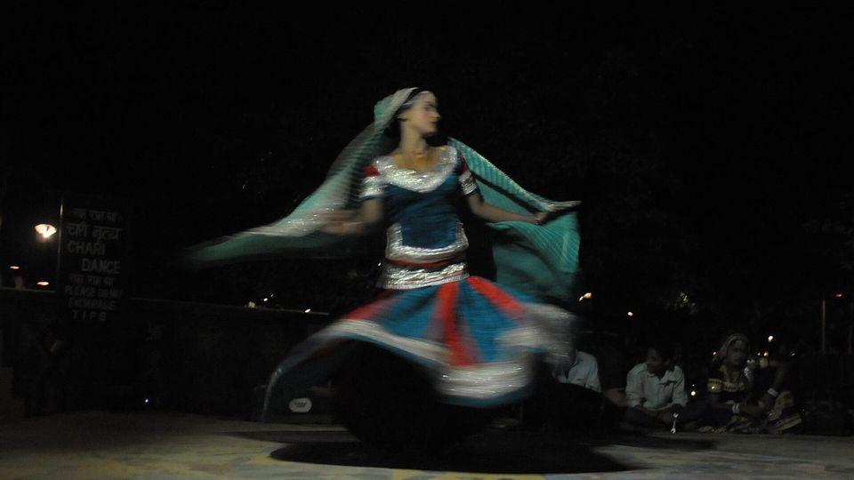 Folk danceGhoomar — the dance of the swirling skirtSwirling ghagras, flowing veils and clapping rhythms at Gangaur, Teej and weddings.3 scenes · with music · ♥ 13
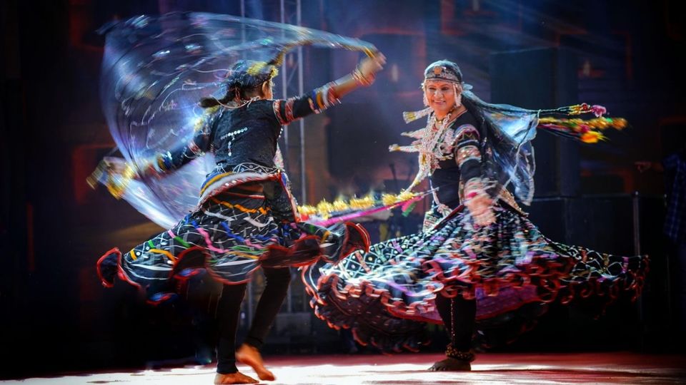 Folk danceKalbeliya — the serpent dance, a UNESCO heritageBodies sway like serpents to the pungi; on UNESCO’s intangible heritage list since 2010.4 scenes · with music · ♥ 1
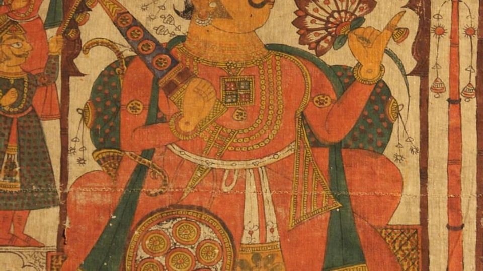 PaintingPhad and Ravanahatha — a story that travelsThrough the night, the bhopa and bhopi sing the epic of folk deities before the phad, to the ravanahatha.4 scenes · with music · ♥ 5
Photos: Shivalir / Wikimedia Commons (CC BY-SA 4.0) · Pinakpani / Wikimedia Commons (CC BY-SA 4.0)