Ajmer Darshan — Ajmer Sharif Dargah, Pushkar, Brahma temple
Ajmer district in Rajasthan is a hub of culture and spirituality.
TIMES of RAJASTHAN · DARSHAN
Ajmer Darshan — Ajmer Sharif Dargah, Pushkar, Brahma temple
Ajmer district in Rajasthan is a hub of culture and spirituality.
In detail
Ajmer district is a central district of Rajasthan with Ajmer city as its headquarters. It covers 8,481 km² and had a population of 2,583,052 in the 2011 census.
Overview
Ajmer district is located in the central part of the Indian state of Rajasthan and forms part of the Ajmer division, one of the seven administrative divisions of the state. The district covers an area of 8,481 square kilometres (3,275 square miles) and, according to the 2011 census, is home to 2,583,052 residents. Its boundaries are defined by Didwana Kuchaman district to the north, Jaipur Rural and Dudu to the north‑east, Tonk to the east, Kekri and Beawar to the south, and Nagaur to the west.
The city of Ajmer serves as the administrative headquarters for both the district and the division. Situated at the geographical centre of Rajasthan, the city has earned the nickname "the Heart of Rajasthan". Ajmer lies amidst the Aravalli Range, which frames the urban area and contributes to its distinctive landscape.
Ajmer has a long municipal history, having been established as a municipality in 1869. In recent years the city has been selected for inclusion in the Government of India's HRIDAY (Heritage City Development and Augmentation) and Smart City Mission schemes, reflecting its cultural significance and the focus on urban development and heritage preservation.
History
The hills of Ajmer district are among the oldest geological formations in India, and archaeological finds such as microliths indicate early hominid presence. Pottery shards belonging to the Painted Gray Ware, Black and Red Ware, and Northern Black Polished Ware cultures have been recovered at sites like Chosla and Sameliya, suggesting contact with the Indus Valley civilization. Pre‑Ashokan Brahmi inscriptions have also been discovered in the Bhilot Mata Temple at Badli.
The region was ruled by successive powers including the Kushans and Sakas before coming under the Chauhan dynasty. The Chauhan capital shifted to Ajmer, known originally as Ajayameru, after the 11th‑century Chahamana king Ajaydeva (Ajayaraja II) moved his residence there, as recorded in a prashasti found at Adhai Din Ka Jhonpra. Earlier tradition attributes the founding of the Taragarh fort to the 8th‑century king Ajayaraja I, a claim supported by 8th‑century inscriptions discovered at the site.
In 1192 the last independent Chauhan ruler, Prithviraj Chauhan, was defeated by Muhammad Ghori, and Ajmer became part of the Delhi Sultanate. Hammir Dev Chauhan briefly reclaimed the city in 1287, but it was reconquered by Delhi in 1301 and later ruled by Mallu Khan in the final phase of the Sultanate. Under Mughal rule, Ajmer formed the core of Ajmer Subah after Akbar’s conquest in 1556, receiving imperial patronage, the construction of Akbar’s palace, pavilions at Ana Sagar, and extensive endowments to the dargah of Moinuddin Chishti. The city served as a military base for campaigns against Rajput states, and Mughal princes Jahanara Begum and Dara Shikoh were born there in the early 17th century.
Mughal influence waned by the early 18th century; the Scindias captured Ajmer in 1752. The British assumed control in 1818, establishing a municipality in 1866 and making Ajmer the headquarters of the Ajmer‑Merwara Province. Colonial Ajmer hosted a central jail, a large general hospital, several missionary establishments, and a vibrant press with twelve printing presses and eight weekly newspapers.
At independence in 1947, Ajmer remained a separate state with its own legislature until it merged with the Rajputana province, later Rajasthan. The former legislature building now houses T.T. College. In 1956, following Fazil Ali’s proposal, Ajmer was incorporated into Rajasthan as Ajmer District, incorporating the Kishangarh sub‑division of Jaipur district.
Geography and climate
The district’s eastern side is largely flat, marked only by gentle undulations, while the western portion is traversed by the Aravalli Range from north‑west to south‑west. In this western zone many valleys form part of the sandy Thar Desert, punctuated occasionally by cultivated oases, and the only hills in the district are the Aravalli and its offshoots. The town of Ajmer lies on a fertile plain within a valley that contains an artificial lake and is shielded from desert encroachment by the massive walls of the Nagpathar (Serpent rock) range.
Ajmer district is almost entirely devoid of rivers; the Banas River merely touches its south‑eastern boundary, providing irrigation to the Samur pargana. Four minor streams—the Sagarmati, Saraswati, Khari and Dai—also cross the district, but watercourses remain limited.
Geographically, Ajmer city itself sits on the lower slopes of Taragarh Hill, part of the Aravalli Mountains, and is protected on the northwest by the Nagapathar Range, which helps prevent desertification from the Thar Desert.
The climate is hot and semi‑arid, receiving just over 55 cm (22 in) of rain annually, most of which falls during the monsoon months of June to September. Summer, from April to early July, sees average daily temperatures around 30 °C (86 °F), while the monsoon brings frequent heavy rain and thunderstorms, though flooding is uncommon. Winters, spanning November to February, are mild and temperate with average temperatures of 15–18 °C (59–64 °F) and low humidity, though occasional cold fronts can bring near‑freezing temperatures.
People and languages
Ajmer district is home to a linguistically diverse population. According to the 2011 Census of India, a majority of residents, 55.16%, identified Rajasthani as their mother tongue, while Hindi was spoken by 30.97% of the population. Marwari accounted for 10.08% and Sindhi for 1.85% of first languages, reflecting the region’s multilingual character.
The district’s overall demographic profile shows a population of 2,583,052, with a sex ratio of 950 females per 1,000 males and a literacy rate of 70.46%. Urban areas accommodate 40.08% of the inhabitants, and the population density stands at 305 persons per square kilometre. Scheduled Castes and Scheduled Tribes together constitute about 21 percent of the district’s residents, numbering 478,027 and 63,482 respectively.
In the city of Ajmer itself, the 2011 census recorded 542,321 residents, rising to 551,101 when suburbs are included. The city’s sex ratio is slightly lower at 947 females per 1,000 males, and its literacy rate is higher than the district average at 86.52%, with male literacy at 92.08% and female literacy at 80.69%. The population growth over the preceding decade was 18.48%, mirroring the district’s overall growth trend.
Administration
The Ajmer Municipal Corporation, established in 1866, is the oldest municipal body in Rajasthan. Its first chairman was Major Davidson and it operates under the Rajasthan Municipality Act of 1959. The corporation’s administration is split between Ajmer North and Ajmer South, comprising 39 and 41 wards respectively, making a total of 80 municipal wards.
The municipal leadership includes the Municipal Commissioner, identified in the source as Shri Gaurav Budhaniya, while another entry lists Shri Deshal Dan, IAS as the Municipal Commissioner, reflecting the information provided. The Mayor of Ajmer is Smt. Anamika Sharma. The corporation is responsible for the collection and recording of property taxes.
At the district level, the divisional commissioner is Bhanwar Lal Mehra and the district collector is Veer Pratap Singh. These officials oversee the broader administrative functions of the district.
Financially, the Ajmer Municipal Corporation reported a revenue of ₹159 crore and an expenditure of ₹207 crore for the fiscal year 2022–23, according to the Ministry of Housing and Urban Affairs. Taxes contributed only 3.1% of the revenue, with the remaining 96.9% derived from other sources.
Culture, fairs and places to see
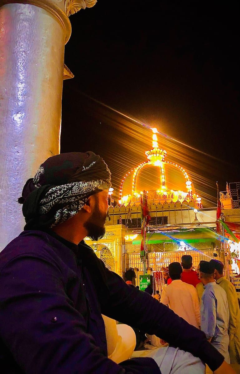
Ajmer district offers a rich tapestry of cultural and historic attractions that draw visitors from across India. The Ajmer Sharif Dargah, perched at the foot of Taragarh hill, is a major pilgrimage centre dedicated to the Sufi saint Khwaja Moinuddin Chishti. Its white‑marble courtyards, the massive gate gifted by the Nizam of Hyderabad, and the Akbari Mosque built by Shah Jahan welcome hundreds of thousands of pilgrims daily, while the annual Urs festival commemorates the saint’s death.
Overlooking the city, the ancient Taragarh Fort stands on a hill 2,855 ft above sea level. Built by King Ajaypal Chauhan, the fort once guarded the Chauhan rulers and later served as a British sanatorium. Its massive stone walls, a shrine to the Muslim saint Saiyid Husain, and the remnants of a Mughal garden‑house in the valley below illustrate the layered history of the region.
The city’s heritage is further showcased at the Akbari Fort and Museum, a Mughal‑era square complex commissioned by Akbar in 1570. Once the residence of Prince Salīm, it now houses collections of Mughal and Rajput armour and sculpture, and its surrounding walls still bear the historic gates that once marked the city’s entrances.
Ajmer’s educational legacy is embodied in Mayo College, founded in 1875 as an “Indian Eton.” Its white‑marble Indo‑Saracenic main building, set within a 167‑acre park, reflects the colonial era’s architectural ambition and the institution’s role in training the sons of Indian princes.
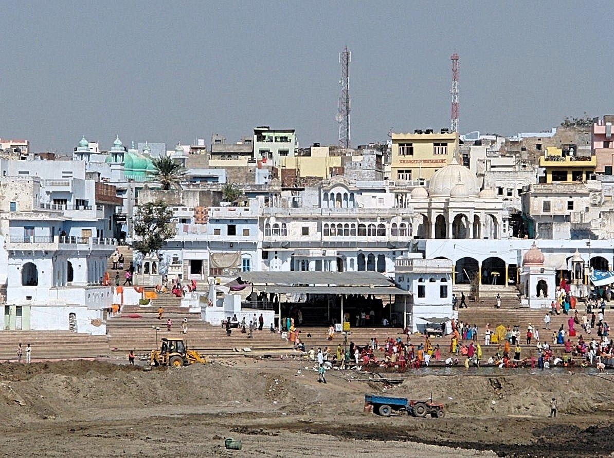
Beyond Ajmer, the nearby town of Pushkar adds a distinct spiritual dimension with its sacred lake and the 14th‑century Brahma Temple, the only major shrine dedicated to the deity. The lake’s pilgrimage significance is recorded in the Padma Purana, making Pushkar a complementary destination for those exploring the district’s religious landscape.
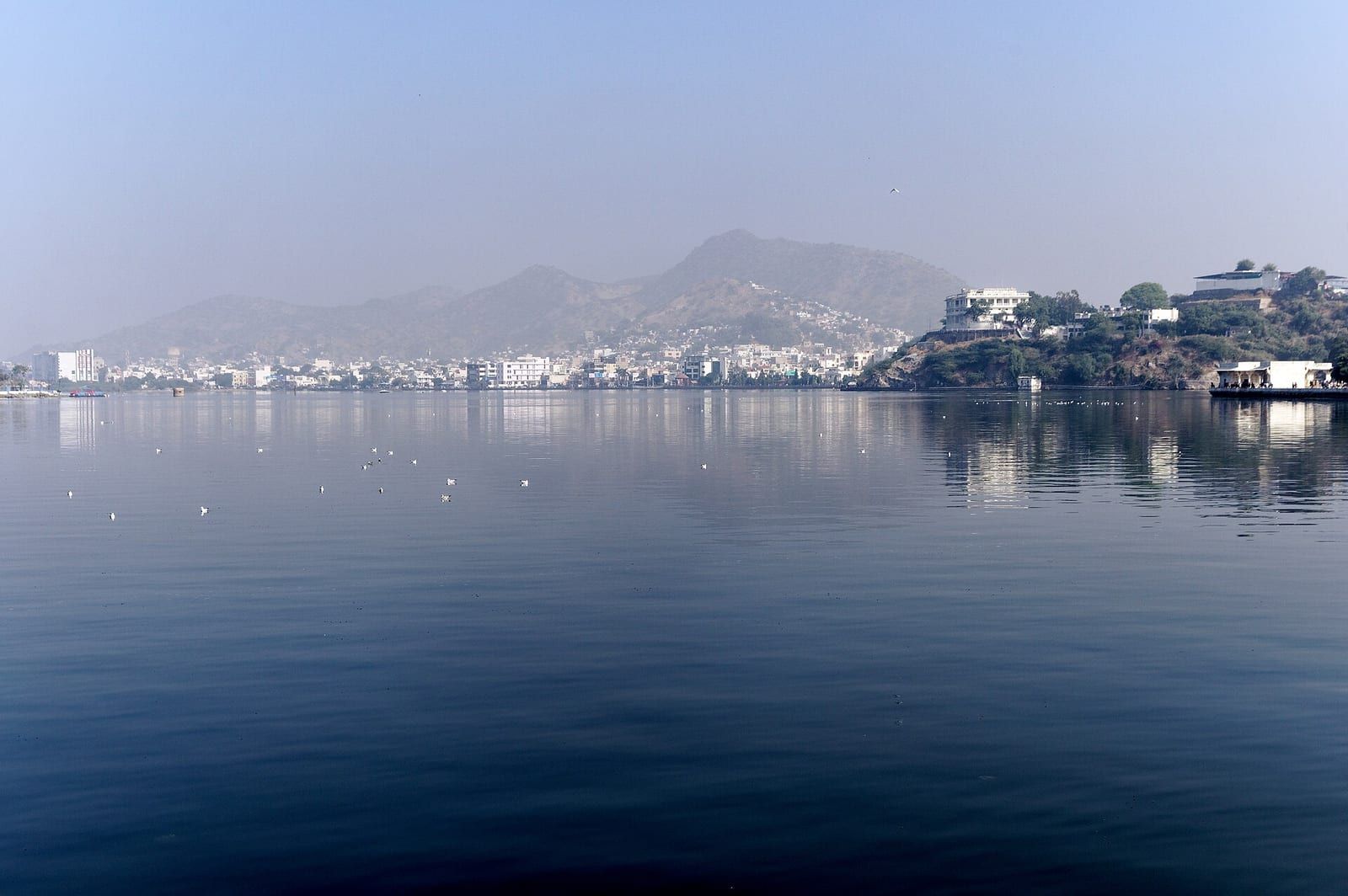
Natural and recreational sites complement the historic attractions. Ana Sagar Lake, a man‑made reservoir created by Maharaja Anaji, is flanked by the Daulat Bagh garden and the Baradari pavilions added by Shah Jahan, though the Baradari is now closed to the public. Further west, the artificial Lake Foy Sagar, built as a famine relief project in 1892, offers scenic views of the Aravalli range and serves as a haven for migrating birds, recalling its former role as the city’s water supply.
Education and transport
Ajmer district’s transport infrastructure includes both air and rail facilities that connect the region to major Indian cities. The nearest airport is Kishangarh Airport, located about 25 km from Ajmer city, which was inaugurated on 11 October 2017 after a groundbreaking ceremony by Prime Minister Manmohan Singh in 2012. Operated by the Airports Authority of India, the airport handles regular flights to Delhi, Mumbai, Hyderabad, Ahmedabad, Indore and Surat, with SpiceJet and Star Air providing daily services. For international travel, the Jaipur International Airport, situated 135 km away, serves as the closest gateway.
Rail transport is anchored by Ajmer Junction, the principal railway station in the city, a legacy of the colonial era that continues to serve as a key node in the regional rail network.
Education in Ajmer is supported by a range of schools and colleges, reflecting the city’s role as an academic hub. Among its notable institutions is Mayo College, a prominent college recognized for its historic significance. Additionally, the regional office of the Central Board of Secondary Education (CBSE) is located in Ajmer, underscoring the district’s importance in the broader educational administration of the area.
Based on: the Wikipedia article (CC BY-SA 4.0) — facts from that source; edited and translated by Times of Rajasthan.
More visual stories
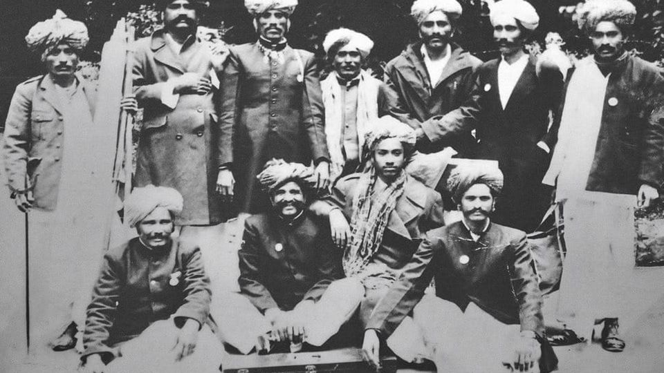 Folk musicKesariya Balam — the songs of the ManganiyarsMaand singing from the Thar, the hum of the kamaicha and the clack of the khartal.5 scenes · with music · ♥ 11
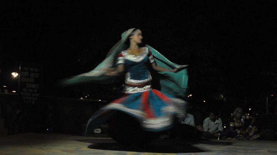 Folk danceGhoomar — the dance of the swirling skirtSwirling ghagras, flowing veils and clapping rhythms at Gangaur, Teej and weddings.3 scenes · with music · ♥ 13
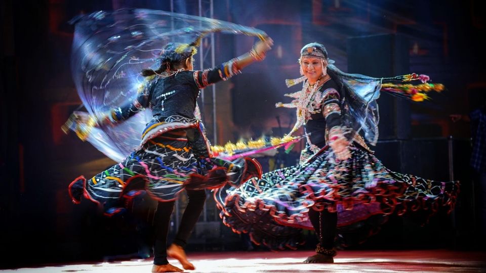 Folk danceKalbeliya — the serpent dance, a UNESCO heritageBodies sway like serpents to the pungi; on UNESCO’s intangible heritage list since 2010.4 scenes · with music · ♥ 1
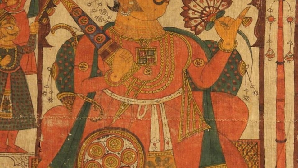 PaintingPhad and Ravanahatha — a story that travelsThrough the night, the bhopa and bhopi sing the epic of folk deities before the phad, to the ravanahatha.4 scenes · with music · ♥ 5
Photos: Zuck28 / Wikimedia Commons (CC BY 4.0) · Pierre André Leclercq / Wikimedia Commons (CC0) · Koshy Koshy from Faridabad, Haryana, India / Wikimedia Commons (CC BY 2.0) · Jakub Hałun / Wikimedia Commons (CC BY-SA 4.0)